|
|
Post by 1dave on Jun 12, 2017 15:59:42 GMT -5
Lots of weird information floating around - and even weirder interpretations.
I try to keep an open mind but not so open that . . .
|
|
|
|
Post by mohs on Jun 12, 2017 20:13:17 GMT -5
I hear ya Dave
The scale & wonders of these lost cities boggles the mind
I like the simplicity of the Hohokam
That make sense to
The Meso way is of different order
Yet they are all related
The massive buildings
and momentous undertaking
Why in the jungle ?
Because of water?
Because of the weather ?
Because of protection?
Why didn’t these sort of structures arise in north America?
|
|
|
|
Post by 1dave on Jun 12, 2017 23:12:57 GMT -5
Interesting how hard headed "Professionals" are. We know the "Hohokam" called themselves the people of Cibola. we know the Olmec calendar began 3113 BC, but THEY insist the Olmecs began much later. |
|
gemfeller
Cave Dweller 
Member since June 2011
Posts: 4,070 
|
Post by gemfeller on Jun 12, 2017 23:43:16 GMT -5
There's a vast amount yet to be learned about the peopling of the Americas. After a lot of study and thinking I've come to the strong diffusionist point of view. I strongly believe the Americas were "discovered" several times by several kinds of people. Some came as I’ve described below; others probably arrived across the Atlantic from the Dakar, Africa region to Brazil’s “hump” – the shortest distance across the Atlantic. Others probably followed the route that was later “discovered” by the Vikings from Northern Europe to Iceland, Greenland and present-day Canada. Others belatedly arrived across the Bering land bridge before the glacial Big Melt. We know for certain the Polynesians had settlements in South America -- how else would native sweet potatoes have been transferred to Oceania? I'm convinced the Chumash Indians from my area of California were of Polynesian origin. Let's look at some geological facts. Roughly 12,000 years ago most of North America was covered by giant ice sheets, two miles high in some areas. It was also the home of some really scary megafauna like dire wolves and saber-toothed cats, not to mention mastodons and other predatory creatures. It wasn't exactly a Club Med for colonists. With all that ocean water sitting in frozen form on North America and Northern Europe, ocean levels were some 300 feet lower than today. We know that some sort of boat technology was developed at least 40,000 years ago -- otherwise Australia would never have been populated (unless human life originated there somehow, which is highly unlikely). Many archaeologists now believe hunter-gatherers migrated to the west from Asia and perhaps other more southern points via boats, following ocean currents that traveled from Asia around the Aleutians and then south again aldong the American west coast. Where's the evidence? Much, I believe, sits 300 feet or so underwater. And considering that temperatures warmed as the explorers moved southward, it seems to me early travelers would keep moving onward while avoiding ice, snow, saber-toothed cats and other northern hazards. Since they probably mainly fished for a living they likely hugged the coast until they found areas where it made sense to build permanent settlements with availability of food, water and a safer environment. Considering the world's climate at the time that would probably mean Mexico and points south. We know that the Monte Verde culture in southern Chile predates the U.S. Clovis culture by at least 1000 years: en.wikipedia.org/wiki/Monte_VerdeOf course it’s located on the Atlantic side of South America so it doesn’t exactly fit the scenario I’ve described above but hunter-gatherers are mobile, and the Pacific is just 50 miles west of the site. Also 10 different kinds of Pacific seaweed have been found at Monte Verde that were used in some way by the inhabitants: www.archaeology.org/issues/150-features/americans/2368-peopling-the-americas-monte-verdeWhen I’ve compared the artistic styles of Mayan vs. Asian jade carvings and other works I have the inescapable feeling that there was direct Asian influence in Mesoamerica, especially with the Maya. When you look at Mayan pottery many of the faces are distinctly Asian although there seems to have been several different racial types. While I personally don’t agree entirely with the thesis presented in this link, it draws some very interesting parallels between the Maya and the ancient Balinese. It delves into the mystery of the missing Olmec elephants, as described upthread. I’d also like to interject that while touring Caracol in Belize our guide took us to a large statue of the Mayan weather god, Chaac. He had a prominent elephant-like trunk, no mistaking it. He is represented with a similar trunk in several other Mayan statues, facades and glyphs. www.richardcassaro.com/suppressed-by-scholars-twin-ancient-cultures-on-opposite-sides-of-the-pacific |
|
|
|
Post by 1dave on Jun 13, 2017 12:22:58 GMT -5
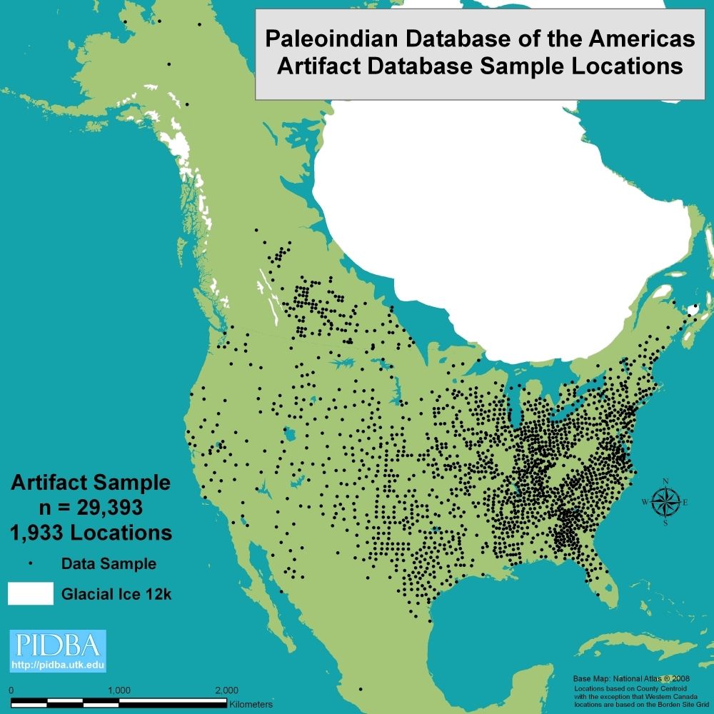
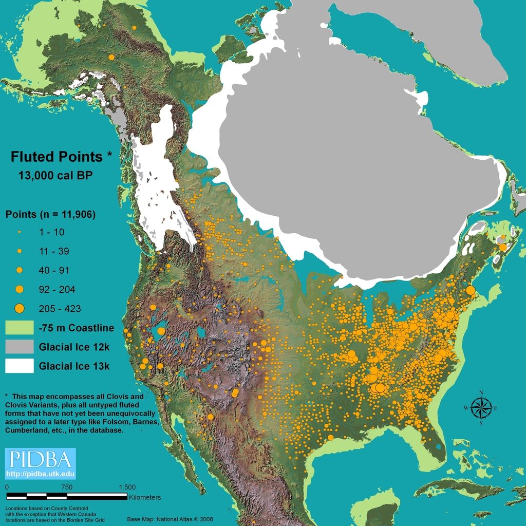
Right on gemfeller ! When I studied archaeology at BYU in 1955 EVERY SINGLE "INDIAN" ON BOTH AMERICAN CONTINENTS CAME ACROSS THE BERING STRAIGHTS. PERIOD. END OF DISCUSSION. Now, 62 years later they are starting to accept previously dismissed evidence. en.wikipedia.org/wiki/Monte_Verde  "Their" greatest hangup seems to be water travel. Sorry, but people of 30,000 years ago had brains at least as good as ours. They had to often cross water. Some of those crossings had to be interrupted by storms. Like coconuts, people ended up everywhere from almost every location. Even back in 1955 "they" were aware of the huge diversity of languages on both continents. Coming from a single source does not compute. In depth studies of arrowheads put the last nail in the coffin! My best guess at the present is that we know about 5% of what happened. |
|
|
|
Post by 1dave on Jun 13, 2017 12:29:25 GMT -5
Oh, and thanks for the  |
|
|
|
Post by 1dave on Jun 13, 2017 19:48:09 GMT -5
Something to keep you afloat, food to eat and water to drink, and ocean currents can take you anywhere on earth.  Add a sail and away you go!  The Mattang  www.abovetopsecret.com/forum/thread440349/pg1 www.abovetopsecret.com/forum/thread440349/pg1This is a mattang, the Polynesian "compass". But the Polynesians also learned how to read wave patterns. Throw a stone into the water and what happens--the stone sinks of course, but circles of waves are made centred on where the stone fell. In much the same way, waves in the sea hit an island and are reflected back. The mattang is a tool showing all the basic patterns that waves can form when they bounce off land. An experienced Polynesian sailor would be able to read the wave patterns and tell which direction to go to find land. Read more: forum.rocktumblinghobby.com/thread/75997/stuff?page=1&scrollTo=879745#ixzz4jvuByaC0 |
|
|
|
Post by mohs on Jun 14, 2017 14:07:00 GMT -5
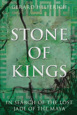
At the library out of interest of this thread scored this book  www.gerardhelferich.com/stone-of-kings.html www.gerardhelferich.com/stone-of-kings.htmlAs an urban rockbound this is knowledge way beyond me It’s inside esoteric gnosis of ancient peoples values For as difficult, tough, & short as their existence was that mankind found the beauty, sacredness & expansion of the mind to work this stone speaks volumes to man’s creativity. One lesson I learned is: if you want to be of value in a hierarchical structure, built on backbreaking labor, become an artistic stone craftsmen. Easy said then done. the book addresses many of the issues of this Discovery Magazine video Especially the fieldwork of Mary Lou Ridinger … |
|
|
|
Post by 1dave on Jun 14, 2017 14:38:39 GMT -5
Thanks Ed mohs for bringing us back to the rocks! |
|