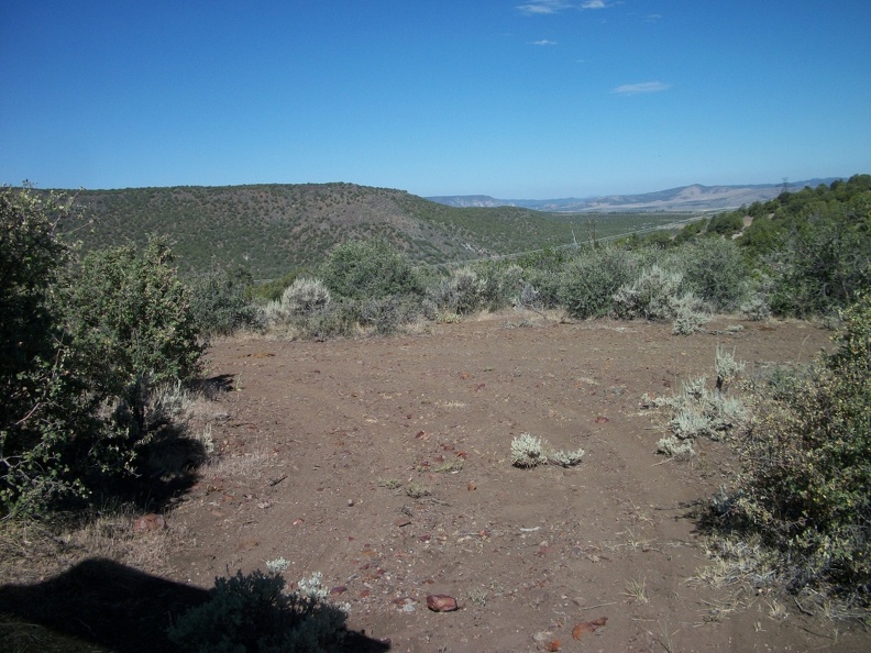
Where the Rocks of Paradise are found:
Where the ash went:
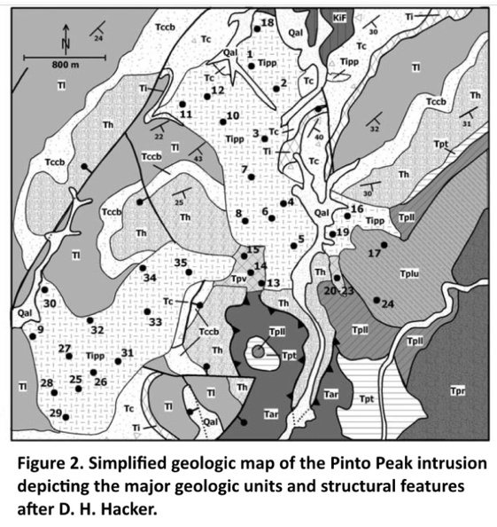
The
rocks of Paradise tuff directly underlie the Rencher Formation and overlie the Harmony Hills Tuff.
Rock Abbreviations from youngest to oldest: Tpvr, Rencher Peak flow member of Pine Valley Latite ;
Tpr, Page Ranch formation;
Tpv, Vent sequence of
Rocks of Paradise;
Tplu, Upper lava flow member of
Rocks of Paradise;
Tpll, Lower lava flow member of
Rocks of Paradise;
Tpt, Ash flow tuff member of
Rocks of Paradise;
Tar, Allochthonous rocks of gravity slide mass;
Tipp, Pinto Peak intrusion;
Th, Harmony Hills Tuff;
Tccb, Bauers Tuff member of Condor Canyon formation;
Tl, Leach Canyon formation;
TI, Isom formation;
Tc, Claron formation;
and Ki, Cretaceous Iron Springs formation.
Tgb Gravity-slide breccia (lower Miocene) – Moderately resistant, mostly pink and gray, tectonic breccia resulting from gravity slides (huge landslides) of various ages, made up of sedimentary (Tc) and volcanic (Tpv, Tcv, Tre,
Tpa, Tqh, Ta, Tqc, Tql, Ti, Tw) rocks shed off the roofs of rapidly rising quartz monzonite porphyry laccoliths and stocks (Tipv, Tib, Tih, Tibm, and several others outside the map area) of the Iron Axis (Cook, 1957; Blank, 1959, 1993; Mackin, 1960; Blank and Mackin, 1967; Blank and others, 1992; Hacker and others, 1996, 2002; Hacker, 1998); maximum thickness in the mapped area about 250 feet (75 m).
22MA -
Tpa - Rocks of Paradise (lower Miocene) – Resistant to moderately resistant, gray, pink, and red, crystal-rich, dacitic lava flows and poorly to moderately welded ash-flow tuff derived from eruption of the Pinto Peak intrusion, located just north of the map area, and tilted westward by emplacement of the Stoddard Mountain intrusion, also just north of the map area (Hacker, 1998; Hacker and others, 2002); 40Ar/39Ar ages are 21.97 + 0.09, 21.62 + 0.08, and 21.75 + 0.30 Ma on two samples (Rowley and others, 2006), in good agreement with the age of the Pinto Peak intrusion (21.96 + 0.11 Ma; UGS and NMGRL, 2007a); maximum thickness about 600 feet (180 m).
The BIG Picture:

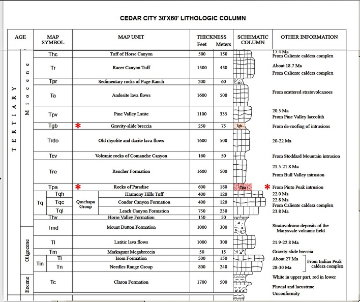 NOTE: The 600 feet thick Rocks of Paradise were covered by 1,600 feet of Rencher Tuff.
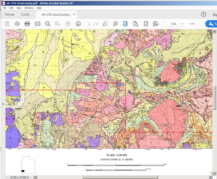
Enlarged around Pinto and Pinto Peak. You are looking for the areas Identified as "Tpa" (some look like Toa) - there is one in the upper left hand corner by the powerline and Tqh; and looking for the gravity slide areas - "Tgb" - crosshatched.
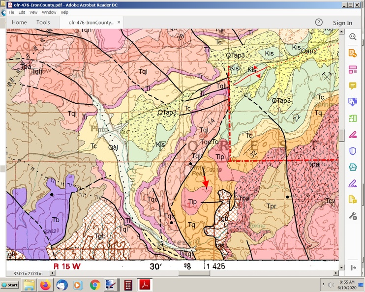
A larger area. Note the slide area East of Stoddard Mountain!
The area most people know about was worked by the Spaniards as a Gold Mine.
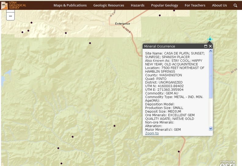
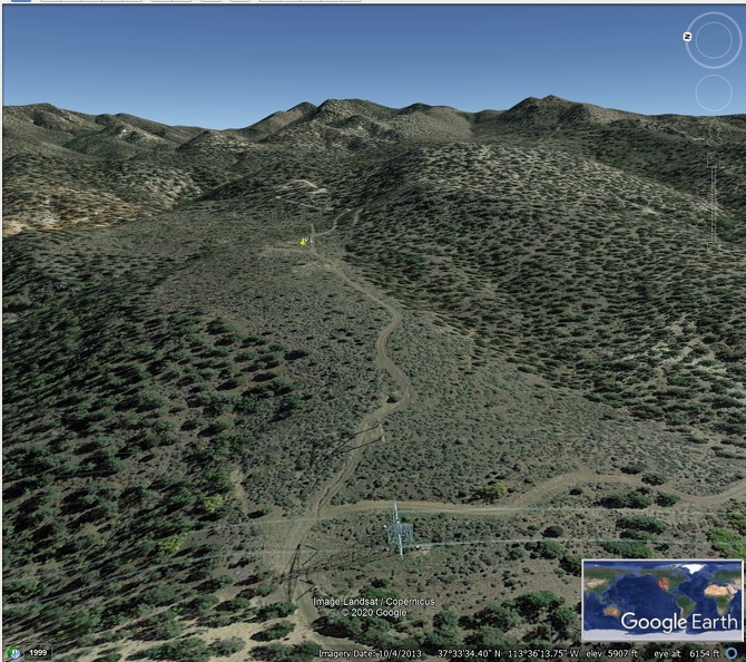
Few know of any other location than the one known as "the Parking Lot" (yellow pin).
The Gravity Slide Areas were caused by the rising Laccoliths - Pine Valley, Cove Mountain, Stoddard Mountain, Iron Mountain, Three Peaks, etc.

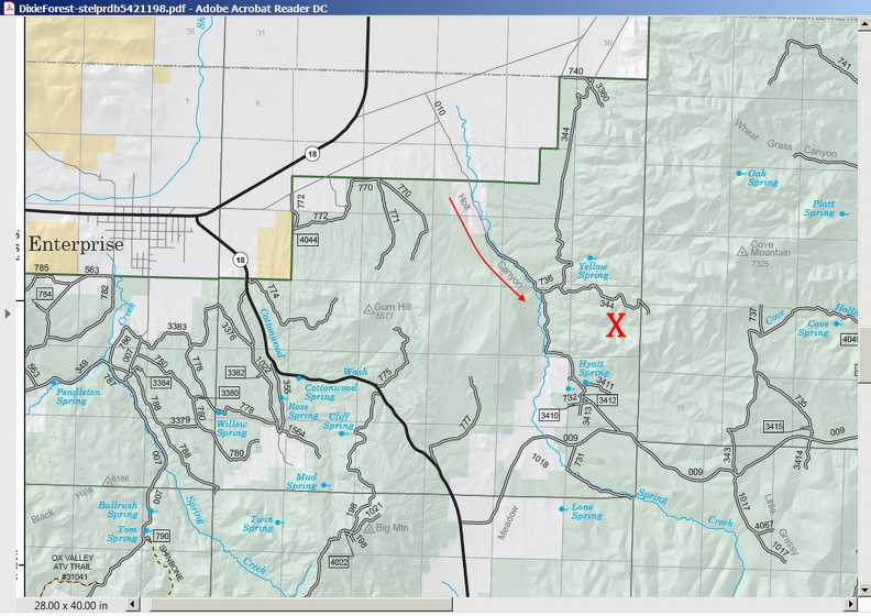
And call the material "Holt Canyon Agate."
Looking at the area from the east.
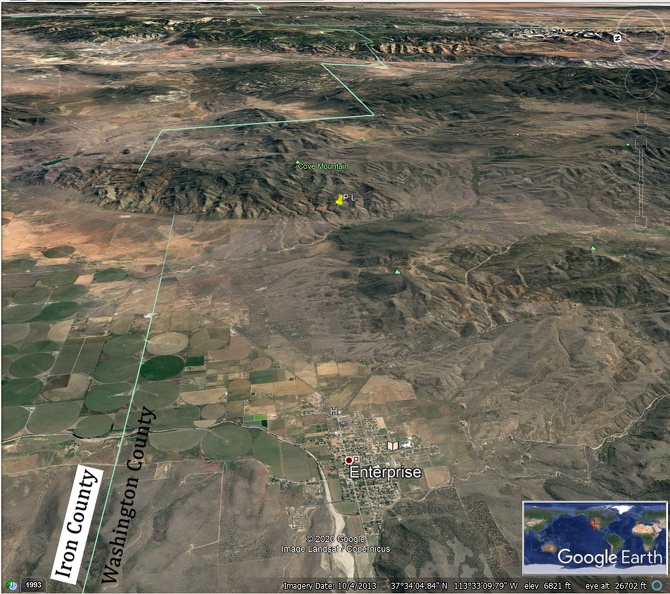


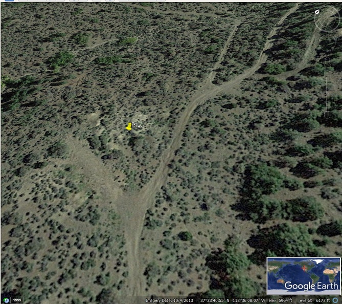
There are pieces of the Rocks of Paradise all over the ground
