

Rocks/artifacts/fossils in SE US - hit the Fall Line
May 16, 2022 10:00:46 GMT -5
RickB and jasoninsd like this
Post by jamesp on May 16, 2022 10:00:46 GMT -5
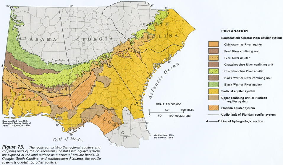
The Fall Line is a long bluff or slope running for 100's of miles where an ancient ocean shoreline existed at about 350 feet elevation. It has been my destination for collecting for almost 5 decades. And it is close to home in Atlanta ga.
Why artifacts:
Because Native man had two distinctly different forests and wetlands to collect food from above and below
Because of massive chert deposits for making tools and points below
Because of a diverse a highly diverse animal population for food due to different habitats above and below
Because of the waterfalls and fast moving and clean water streams/rivers
Because of temperature variations above and below for comfort depending on season
Because he could transport materials on fast moving streams and rivers
Because of the high density of small springs for clean drinking/bathing water
Because of fish swimming upstream to highly oxygenated water at the base of the bluffs and slopes
Why rocks:
Because of the diversity from the interface of crystalline above and fossiliferous rocks below
Because of the exposure of deeper geological layers washed away by ancient ocean wave action
Because of many shoreline deposits exist typical to a beach
Because of deposition of clays and soils from the north assisting in fossilizations and silicification
Because streams and rivers have carved thru the slopes and bluff exposing yet deeper geologic layers
Because of many minerals and rocks that were transported from the Appalachian Mountains by rivers
Because of the many marine deposits and fossils deposited and formed well inland
Because of a high potential for depositions from meteor impacts
For rock collectors in the SE US the Fall Line is your go to. The rock and fossil deposits and formations are diverse and change drastically when moving east to west along the Fall Line. Depending on the slope at any point along the line east to west the width of the shoreline also varies drastically.


