|
|
Post by 1dave on Apr 24, 2021 15:48:23 GMT -5
|
|
|
|
Post by mohs on Apr 24, 2021 16:45:34 GMT -5
Highways are an interesting subject
maps that much so
I like reading mile markers
although I'm really lousy at logistics
and get my directions all funky
that why part of my working life I was a courier ha
anyways I always reached my destination
for better or worse
mosalty
|
|
|
|
Post by mohs on Apr 24, 2021 17:34:17 GMT -5
One of the best road trips I ever took 
The Coronado Trail State route 191. Start in the southern copper country of Morenci, Az. Ascend north the 7000+ foot elevation on the edge of winding road. Vast open vistas. Zuni Country > End destination Hannagan Meadows & Aspen haven of Greer Az. Keep on north to St John and other high desrt destinations... |
|
|
|
Post by 1dave on Apr 25, 2021 4:35:24 GMT -5
One of the best road trips I ever took
The Coronado Trail State route 191. Start in the southern copper country of Morenci, Az. Ascend north the 7000+ foot elevation on the edge of winding road. Vast open vistas. Zuni Country > End destination Hannagan Meadows & Aspen haven of Greer Az. Keep on north to St John and other high desrt destinations... That was a "Golden" trip! |
|
|
|
Post by 1dave on Apr 25, 2021 9:39:35 GMT -5
The Lincoln Highway www.lincolnhighwayassoc.org/ "Browse every mile of the Lincoln Highway through our interactive map." www.lincolnhighwayassoc.org/map/One Man Made a Difference!  Carl G. Fisher (Pince-nez is a style of glasses, popular in the late 19th and early 20th centuries, that are supported without earpieces,) |
|
|
|
Post by 1dave on Apr 25, 2021 9:40:31 GMT -5
|
|
|
|
Post by 1dave on Apr 25, 2021 11:21:55 GMT -5
|
|
|
|
Post by mohs on Apr 25, 2021 11:56:13 GMT -5
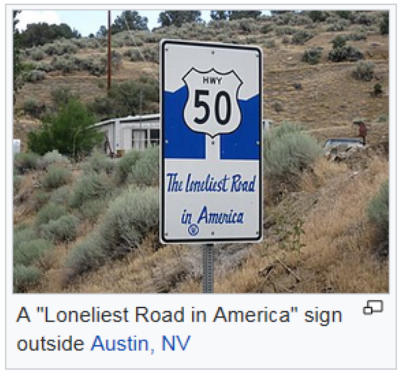
That Nevada I 50 may be the most loneliest road And I 95 may be the most solitude of ride Very little towns, no rest areas, no service. Just miles and miles of bare road and 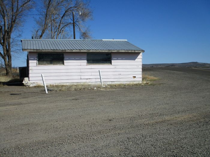 Little Pink Houses for You and Me |
|
|
|
Post by 1dave on Apr 25, 2021 11:59:20 GMT -5
|
|
|
|
Post by 1dave on Apr 25, 2021 12:27:20 GMT -5
That Nevada I 50 may be the most loneliest road And I 95 may be the most solitude of ride Very little towns, no rest areas, no service. Just miles and miles of bare road and Little Pink Houses for You and Me Ed I had a BAD NIGHT on US-50! In 1988 Electrical Work had dried up in Utah. Four of us managed to get on building the prison at Ely Nevada. We would carpool from Orem Utah to Ely around 2AM on Monday mornings to get to work at 7Am, work the week and drive back home Friday nights. One morning it was my turn to drive. We made it to Delta OK, and got onto US 50 headed west. As usual not another car in sight. Crossed into Nevada. Still no cars. Some time later a light appeared in the far distance. No houses along here - It must be a car headed our way . . . BUT the light would blink out from time to time. Curious. Wiring problem? dropping down into low spots? A little concerned I slowed down to 30 mph, which woke up my passengers. "What's up?" I pointed out the distant light turning on and off. "It's a long way off. Let's not be late for work." He had no more than said that when a BIG BLACK ANGUS BULL appeared right in the middle of our lane walking toward us! I slammed on the brakes and a second later he smashed into the front of the car, head smashed through the windshield blowing glass and snot all over us. He flipped over the car and landed on the road behind us bellowing in pain. a half hour later the light arrived - a Nevada Highway Patrolman. He had to shoot the bull, called a wrecker, and hauled my passengers to work while I waited with my car. |
|
|
|
Post by mohs on Apr 25, 2021 12:41:48 GMT -5
Wow Dave
That is a serious memory !
The close call I had was out on U.S.260
Late at night heading into Show Low Az.
I was in the van that caught fire on I- 17
Coming into Black Canyon City .
That another long story ha
Anyway this Elk come running out on the highway
Humongous!
His hindquarters came right up to the front windshield.
Not sure how I swerved and missed it?
But we all walked and drove away unscathed.
Lot of Elk, deer, wild life, gets hit on those roads
I been lucky in that regard
Thanks !
Ed
|
|
|
|
Post by RickB on Apr 25, 2021 17:50:31 GMT -5
1dave, here's a 1911 map of Yellowstone National Park I bought from a lady over twenty years ago. Her great grandmother took a stagecoach tour of the park. I framed it in oak where you can see both sides. Check out those prices.    
|
|
stefan
Cave Dweller 
Member since January 2005
Posts: 14,095
|
Post by stefan on Apr 25, 2021 18:33:59 GMT -5
Longest road in the US! U.S. Route 20 or U.S. Highway 20 (US 20) is an east–west United States highway that stretches from the Pacific Northwest all the way to New England. The "0" in its route number indicates that US 20 is a major coast-to-coast route. Spanning 3,365 miles (5,415 km), it is the longest road in the United States,[1] and the route is roughly parallel to that of the newer Interstate 90 (I-90), which is in turn the longest Interstate Highway in the U.S. There is a discontinuity in the official designation of US 20 through Yellowstone National Park, with unnumbered roads used to traverse the park. en.wikipedia.org/wiki/U.S._Route_20 |
|
|
|
Post by mohs on Apr 25, 2021 18:37:29 GMT -5
That Yellowstone map is really cool rickb !
|
|
|
|
Post by RickB on Apr 25, 2021 19:05:50 GMT -5
That Yellowstone map is really cool rickb ! Thanks Ed, I paid about two dollars for it and about thirty dollars to have a special frame made out of oak where I could see both sides. Years ago I sold all the other gasoline station maps, railroad schedules, etc that I bought from the lady that day. This is the one I wanted for myself, stage coach tour and map of Yellowstone. Has a place in the man cave. |
|
|
|
Post by mohs on Apr 25, 2021 19:12:46 GMT -5
yeah that frame rocks never been to YellowStone I have polishes some tho tomorrow I', planning scenic drive south maybe go to the Cochise strong hold Dragoons Mountains  Those pictures are taken out by Ray Mining - Kearney Az . That on route 177 out of Superior AZ. Copper Stone Corridor West Route It’s the source of that really great AZ. AzureMaloChrys material also pulled into Mineral Creek by Riverside. I was by myself and got way back in there. got spooked. I think a couple local toughs had an eye on easy prey.  The copper stripping of the mountains fascinates my sense of technolgo marvels .  Also its sad in a way. Now we have the Oak Flats controversy. That been going on for years. Copper underground mining. Big time job producer for that area. I side with the Indians with keeping that area pristine...mostly |
|
|
|
Post by Rockindad on Apr 25, 2021 20:03:44 GMT -5
1dave great thread! As someone who has put on a lot of miles throughout this country I have always loved looking at maps, new and old. Have spent many hours planning the roadtrips, long before GPS. Still would rather break out the big atlas and mark it up figuring out routes and what else might be of interest along the way to our next destination. It was always fun returning the rental (usually a van) with many thousands of miles after a couple of weeks and seeing the look on the clerks face. Lot of beautiful country in the U.S.A., hope to spend my retirement seeing a lot more of it if the health holds out.
|
|
|
|
Post by 1dave on Apr 25, 2021 22:48:39 GMT -5
That Yellowstone map is really cool rickb ! I thought so too. I'm a map kleptomaniac so I stole copies of it. This part doesn't seem too bright to me - How does the horse put up with it?  |
|
|
|
Post by RickB on Apr 26, 2021 7:07:20 GMT -5
|
|
|
|
Post by Rockoonz on Apr 26, 2021 11:41:06 GMT -5
Highways are an interesting subject maps that much so I like reading mile markers although I'm really lousy at logistics and get my directions all funky that why part of my working life I was a courier ha anyways I always reached my destination for better or worse mosalty You were a pretty good navigator on our recent road trip. The only wrong turn was on me and the Google map. Turned out to be a fortuitous detour anyway. |
|


 Drifting along with the tumblin' tumbleweeds