Post by carloscinco on Jul 2, 2011 23:24:26 GMT -5
I saw where Zapata county got some rain over the last two days so I decided to take off this morning and find Bob's Nob. It's about a two hour drive for me. I left at 6am. I came down hwy 16 from Hebbronville and turned left on hwy 83 in Zapata. My source of info was a 1967 edition of Gem Trails of Texas by Bessie Simpson and tips from RTH'rs. I verified the roads on Google Maps and Google Earth which both have the best info in my opinion.
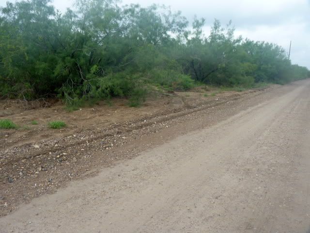
About 12 miles on 83 and you hit the intersection with FM2687. I turned right, toward the river. There is about 100 yds of black top and then it's all gravel from there baby!
The gravel roads are very well kept . They see alot of traffic due to all the drilling in this area. You'll see compressors, separators, and a few drilling rigs. Very clean as well with litter at a minimum.
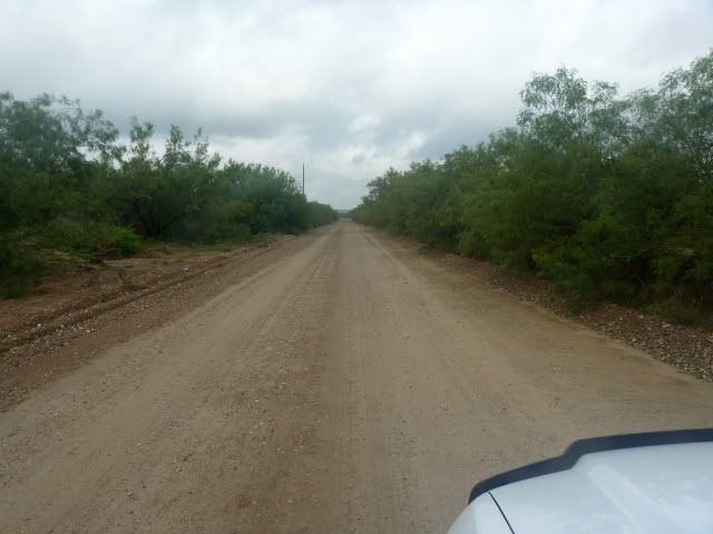
This is what the roads look like, gravel everywhere, shoulders are pretty wide and plenty of room for two way traffic when needed.
I saw about 10 other vehicles in 5 hours.
I followed the maps to Bob's and I knew I was close when I saw these:
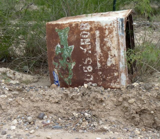
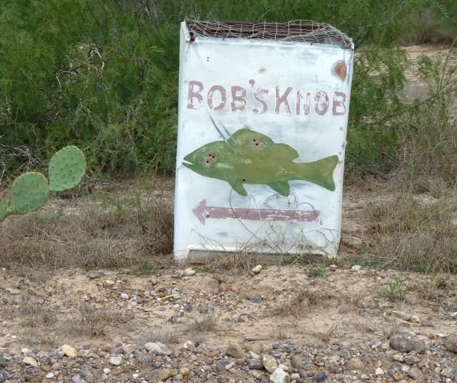
Never a shortage of idiots.
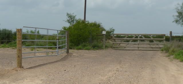
Every road I followed out ended in a locked gate.
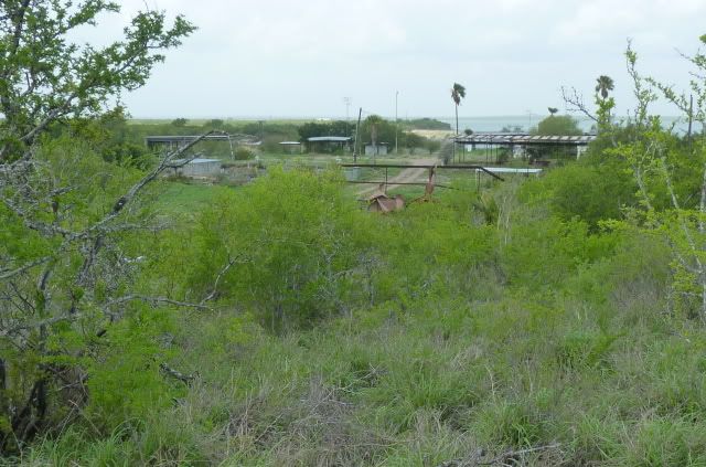
There are other fish camps in this immediate area but they all appeared abandoned:
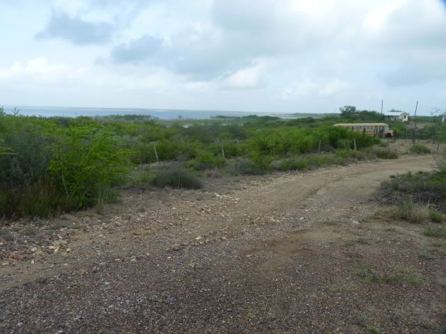
or their gates were locked like they'd gone private.
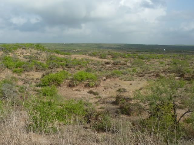
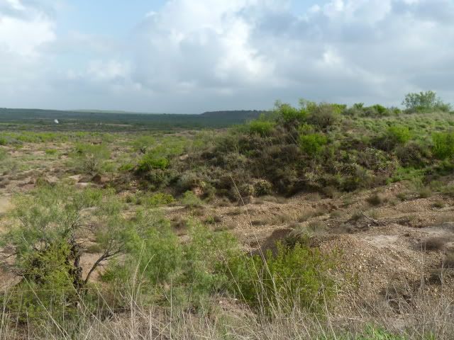
This is what the country around here looks like, gravel all over.
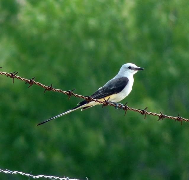
Plenty of wildlife, coyotes yodeling and mockingbirds singing, scissor tails:
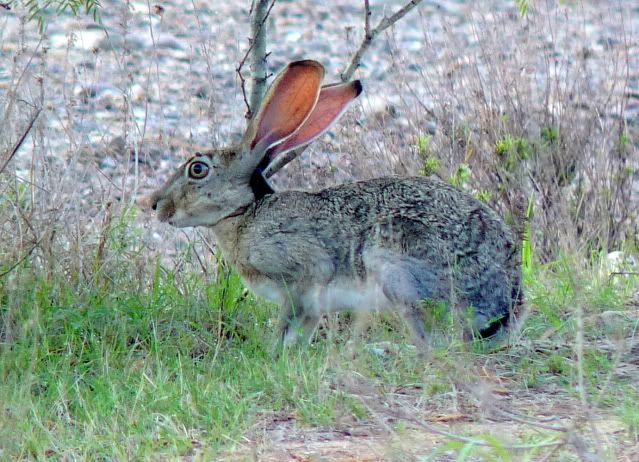
jackrabbits:
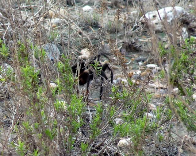
giant tarantulas:
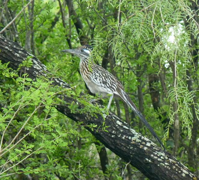
roadrunners, fast and good eating to boot:
There were quail, Cara Cara eagles, dove, I only wish I'd seen a wild turkey so I could report that I'd seen the Bob's Nob Gobblers.
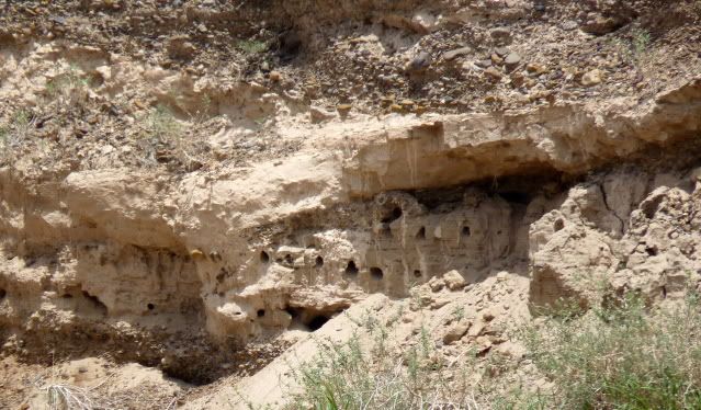
This reminds me of Chaco canyon but I think they're bird nesting condos:
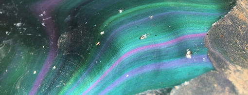
I picked up rocks along the shoulders for several hours, nothing worth bleating about but fun anyway. I'll post later this weekend. Well worth the trip and plenty of gravel everywhere. I'll come back.
A salute to our independance this weekend and a prayer for our military overseas and at home.
About 12 miles on 83 and you hit the intersection with FM2687. I turned right, toward the river. There is about 100 yds of black top and then it's all gravel from there baby!
The gravel roads are very well kept . They see alot of traffic due to all the drilling in this area. You'll see compressors, separators, and a few drilling rigs. Very clean as well with litter at a minimum.
This is what the roads look like, gravel everywhere, shoulders are pretty wide and plenty of room for two way traffic when needed.
I saw about 10 other vehicles in 5 hours.
I followed the maps to Bob's and I knew I was close when I saw these:
Never a shortage of idiots.
Every road I followed out ended in a locked gate.
There are other fish camps in this immediate area but they all appeared abandoned:
or their gates were locked like they'd gone private.
This is what the country around here looks like, gravel all over.
Plenty of wildlife, coyotes yodeling and mockingbirds singing, scissor tails:
jackrabbits:
giant tarantulas:
roadrunners, fast and good eating to boot:
There were quail, Cara Cara eagles, dove, I only wish I'd seen a wild turkey so I could report that I'd seen the Bob's Nob Gobblers.
This reminds me of Chaco canyon but I think they're bird nesting condos:
I picked up rocks along the shoulders for several hours, nothing worth bleating about but fun anyway. I'll post later this weekend. Well worth the trip and plenty of gravel everywhere. I'll come back.
A salute to our independance this weekend and a prayer for our military overseas and at home.