A mountain of leaverites, hounding and geology, very long,
Feb 16, 2015 9:19:28 GMT -5
Fossilman, jamesp, and 5 more like this
Post by Deleted on Feb 16, 2015 9:19:28 GMT -5
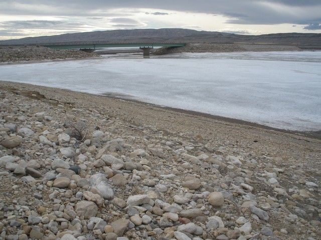
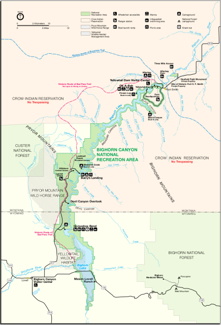
Went hounding Saturday to the upper end of Yellowtail Dam at the confluence of the Big Horn and Shoshone Rivers. The Big Horn is coming in from the left (Greybull, Basin Wyoming) and the Shoshone is coming in from straight out which is west. (Cody, Powell, Lovell Wyoming)
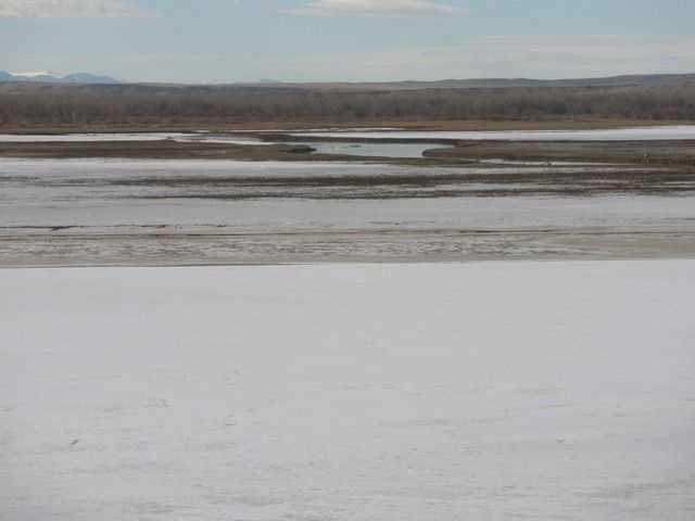
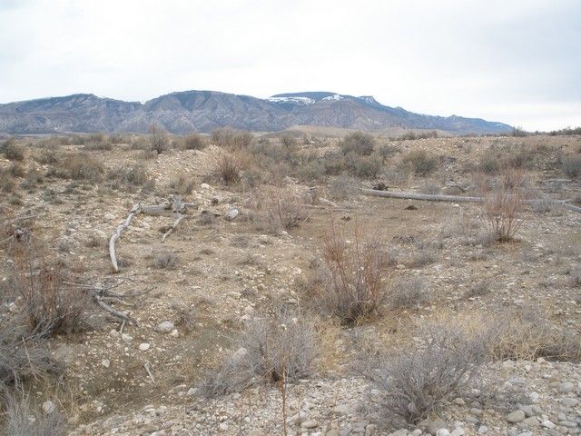
Looking south up the Big horn Valley which extends somewhere around a third of the way into Wyoming. The big floods we had a few years ago put water over this road which is four to five hundred yards across. They didn't make the gap quite wide enough for this huge drainage area.
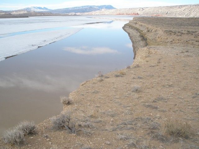
East toward the lower end of the Big Horn Mountains.
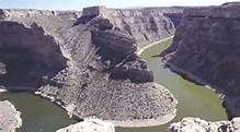
This is looking north into the Big Horn Canyon (very impressive) and the Pryor Mountains (dryhead agate country) a short distance away.
Some photos of the Big Horn Canyon which is 71 miles long and ending at Yellowtail dam in Montana.
Arial photos of the canyon.
images.search.yahoo.com/yhs/search;_ylt=A0LEVj1G6eFUv0IAPNQnnIlQ;_ylu=X3oDMTB0dmRibmhwBHNlYwNzYwRjb2xvA2JmMQR2dGlkA1lIUzAwMV8x?_adv_prop=image&fr=yhs-mozilla-001&va=bighorn+canyon&hspart=mozilla&hsimp=yhs-001
I was at the point where 114A crosses the south end of the lake on the east side.
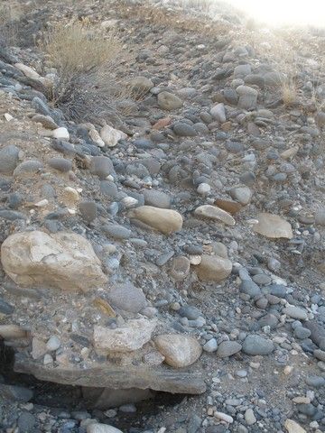
Down to the nitty gritty rock overload. The Big Horn Valley was filled, I don't know how deep, from three sides. River wash from the east and west, Yellowstone Park ash from the west and glacial push from the north. Here is 50 feet of proof.

Huge slabs of sandstone much larger than this one came with all the other rock.
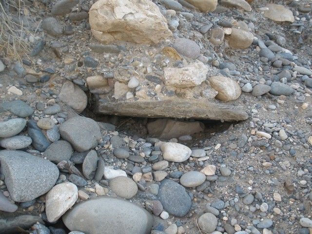
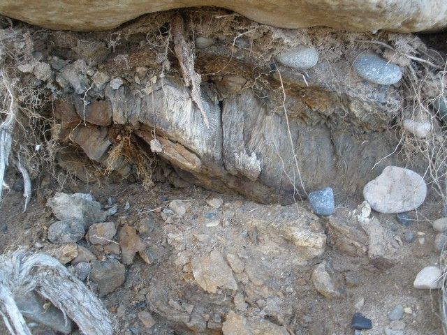
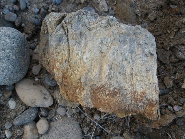
Trees came also. This one was not buried deep enough so it was not well preserved and breaks up easily.
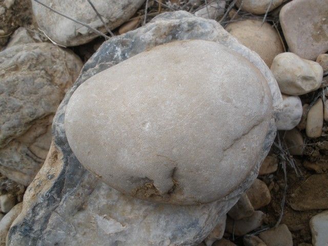
This is what 99.9999 percent (not a positive count) of the rock amounts to. Several different shades of ?limestone? pink, green and tan, lots of tan.
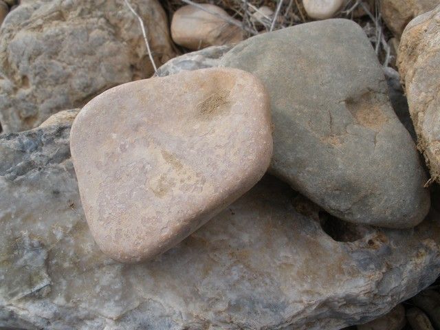
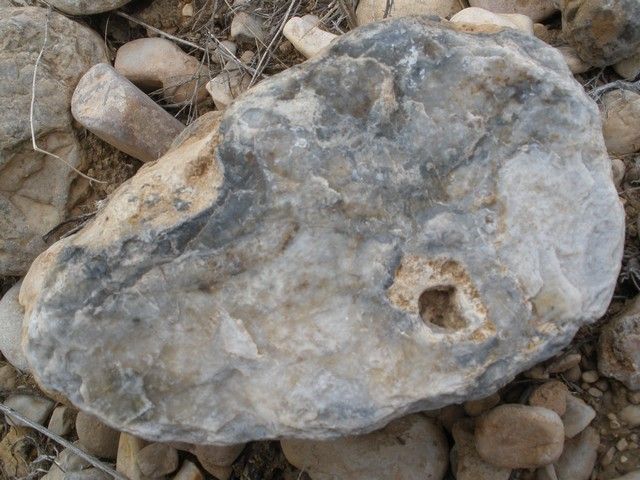
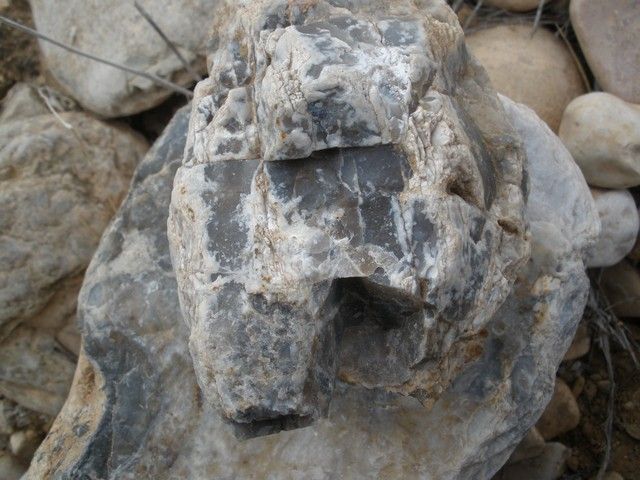
What I call wanna be agate. Meh on the inside.
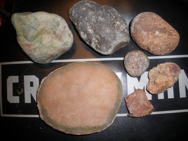
What I brought home.
Top left: green and pink probably leaverite. A guy fishing there told me that there is tons of it up on the mountain. To be continued.
Top center: Montana agate, meh
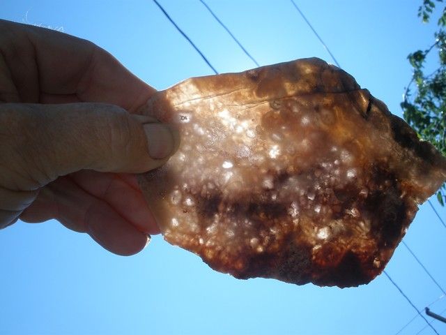
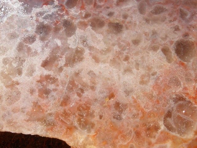
Top right: a pretty tight grained something. To be continued.
Center: a little tumble ball of ?granite
Bottom left: some kind of quartz that I am going to use for sore muscles, Heat and lay on.
Two bottom right: wampidy sunrise probably too fractured to use for anything. Take home leaverite.
I was antsy and left too early and by the time it warmed up my back was hurting too bad to continue. All in all the geology was better than the rocks. If the Montana sliced thin has an iris effect (very close to zero percent chance) it would be a worthwhile trip. Other than that I got out of the cave for a while which counts for something.
If you are still here I hope you enjoyed the show. More of this is what I was looking for.
Jim

Looking south up the Big horn Valley which extends somewhere around a third of the way into Wyoming. The big floods we had a few years ago put water over this road which is four to five hundred yards across. They didn't make the gap quite wide enough for this huge drainage area.

East toward the lower end of the Big Horn Mountains.

This is looking north into the Big Horn Canyon (very impressive) and the Pryor Mountains (dryhead agate country) a short distance away.

Some photos of the Big Horn Canyon which is 71 miles long and ending at Yellowtail dam in Montana.

Arial photos of the canyon.
images.search.yahoo.com/yhs/search;_ylt=A0LEVj1G6eFUv0IAPNQnnIlQ;_ylu=X3oDMTB0dmRibmhwBHNlYwNzYwRjb2xvA2JmMQR2dGlkA1lIUzAwMV8x?_adv_prop=image&fr=yhs-mozilla-001&va=bighorn+canyon&hspart=mozilla&hsimp=yhs-001
I was at the point where 114A crosses the south end of the lake on the east side.

Down to the nitty gritty rock overload. The Big Horn Valley was filled, I don't know how deep, from three sides. River wash from the east and west, Yellowstone Park ash from the west and glacial push from the north. Here is 50 feet of proof.

Huge slabs of sandstone much larger than this one came with all the other rock.


Trees came also. This one was not buried deep enough so it was not well preserved and breaks up easily.


This is what 99.9999 percent (not a positive count) of the rock amounts to. Several different shades of ?limestone? pink, green and tan, lots of tan.


What I call wanna be agate. Meh on the inside.


What I brought home.
Top left: green and pink probably leaverite. A guy fishing there told me that there is tons of it up on the mountain. To be continued.
Top center: Montana agate, meh
Top right: a pretty tight grained something. To be continued.
Center: a little tumble ball of ?granite
Bottom left: some kind of quartz that I am going to use for sore muscles, Heat and lay on.
Two bottom right: wampidy sunrise probably too fractured to use for anything. Take home leaverite.

I was antsy and left too early and by the time it warmed up my back was hurting too bad to continue. All in all the geology was better than the rocks. If the Montana sliced thin has an iris effect (very close to zero percent chance) it would be a worthwhile trip. Other than that I got out of the cave for a while which counts for something.
If you are still here I hope you enjoyed the show. More of this is what I was looking for.


Jim


 Dog on a Hot Tin Roof
 A Raccoon on hot pavement