Base was a friend's cabin on 60 acres near Blue Ridge Georgia.
Mountain is Joel Mountain, one of the peaks in Rich Mountain Wilderness.
Link to topo. Hiked fron upper right flat area to lower left knob, Joel Mountain. Comrades chose not to join me.
By clicking map in upper left satellite image comes up. Farm is at the word 'Big Creek' on the satellite map..
www.mytopo.com/maps/?lat=34.7603&lon=-84.28221&z=15Friend's property:
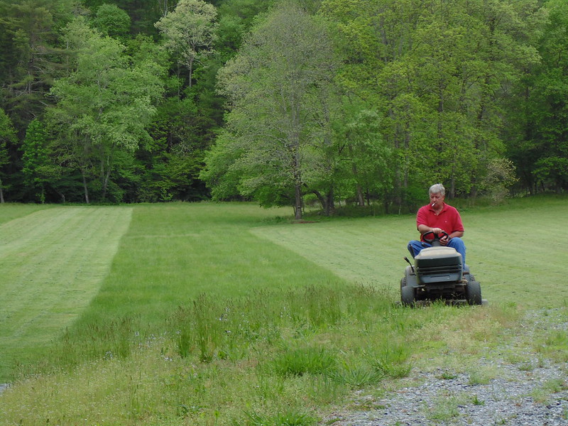
David running small mower
They made me jamesp catch the 15 acres with the tractor 5 hours worth
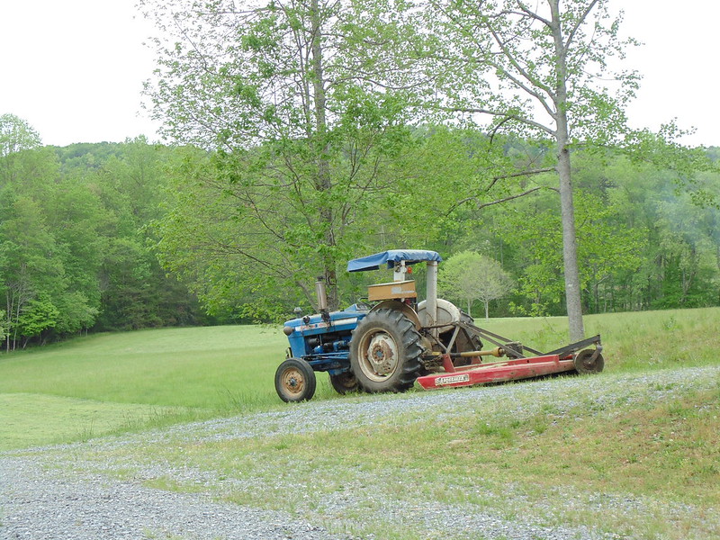
While Eric and Mr.Tom(the mayor of McCaysville,Ga)
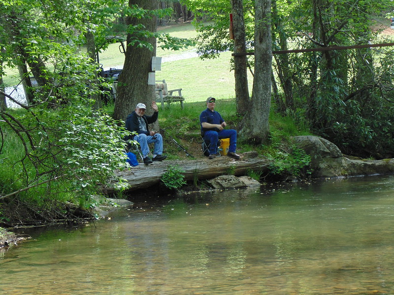
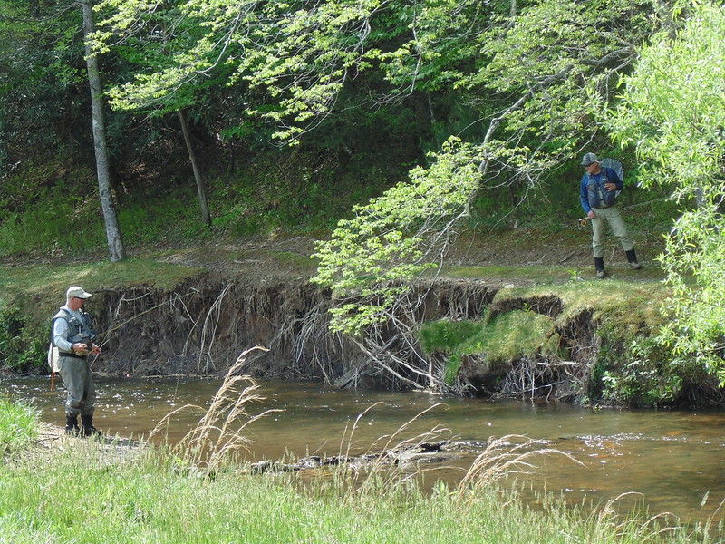
These guys pay $450/day, Big Creek full of fed trout avg. 20-25 inch rainbows. Catch and release, no barbs, artificials only.
They despised us, Eric one of the land owners lets us fish with worms. Me did not fish, do not fish for pet fish.
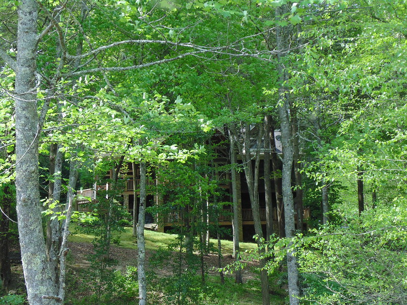
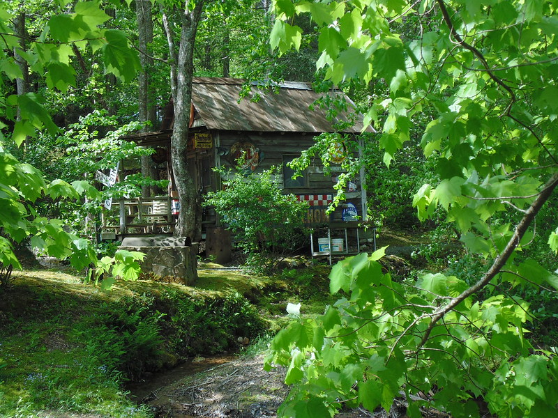
Cabin across the creek, owner a lobbyist. Eric recently ran one of his visitors off the creek, the Governor, LOL.
That would be 'Eric, the Governor Slayer'
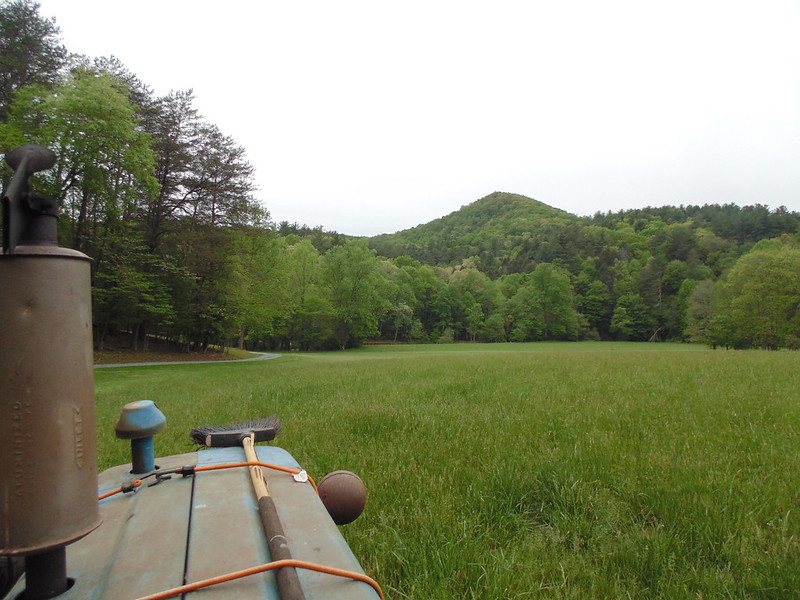
View of Joel Mountain from atop tractor
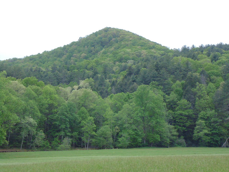
Closer, looking south
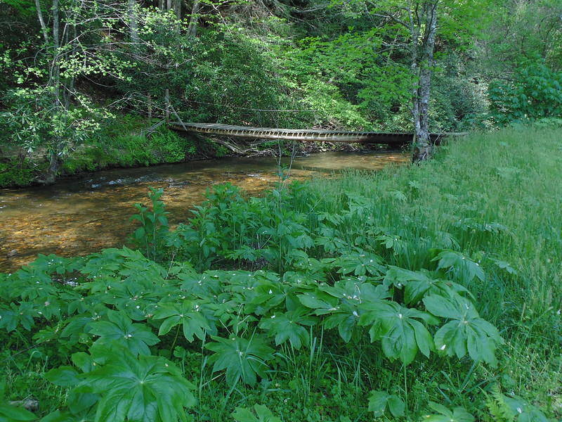
Foot bridge heading south to begin ascent, believe that is bloodroot in foreground. Herbs insane in this area.
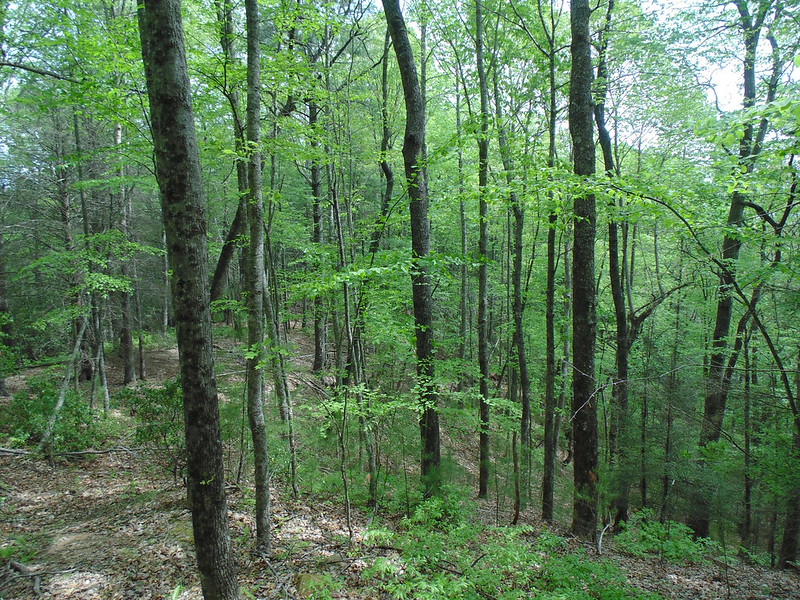
Beginning of low ridge ascent from steep creek bank
Dog Hobble(Leucothoe), named for it's ability to trip hunting dogs up
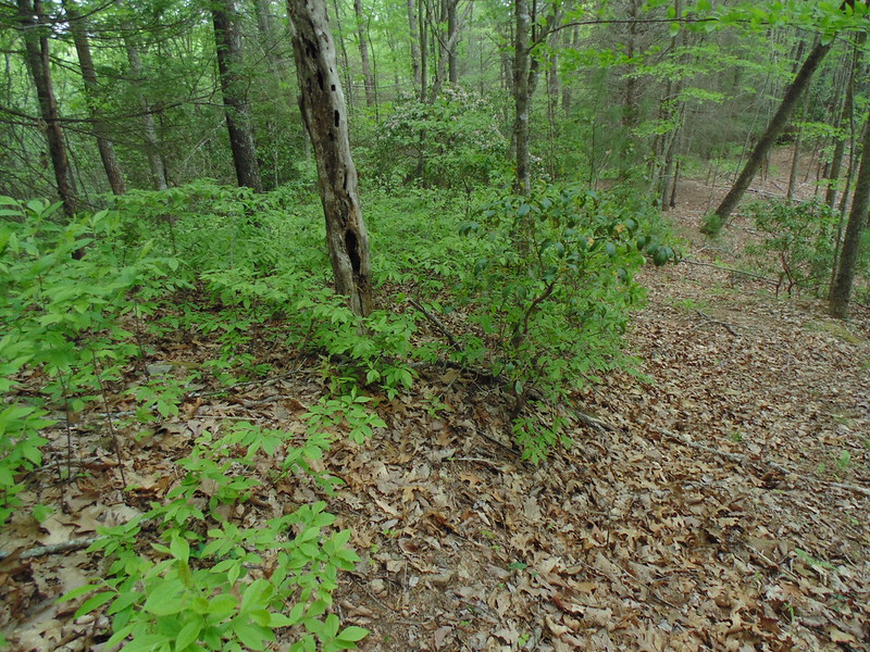
Break time
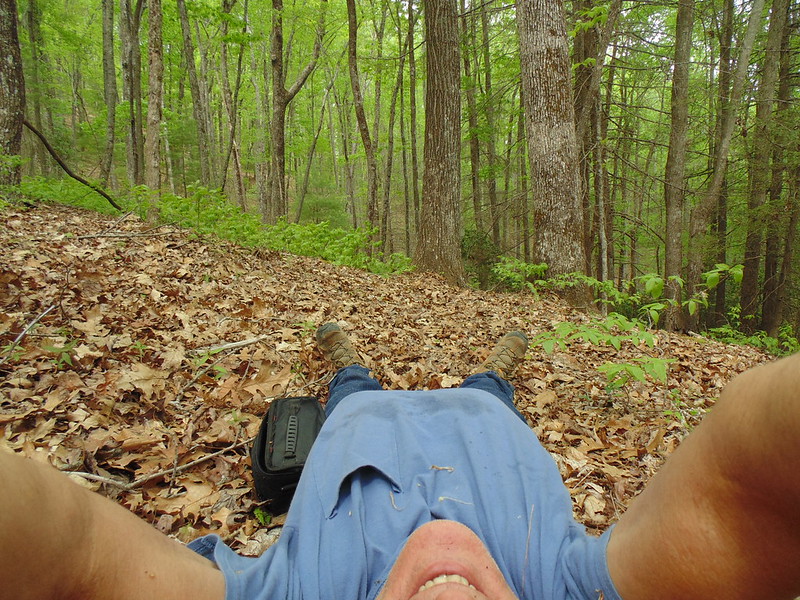
Flatter section of ridge before the grind
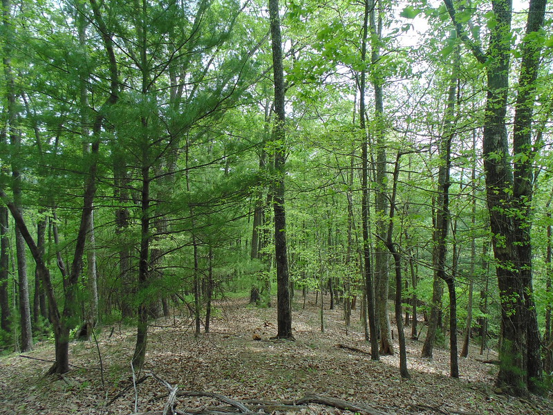
picking up altitude, camera level
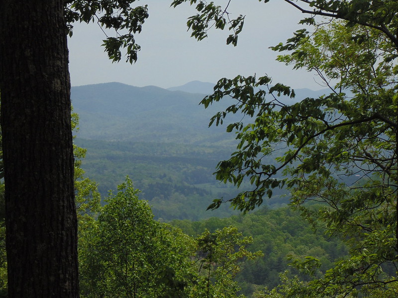
At about 2500, steep, trout lilies(Erythronium). Many varieties California
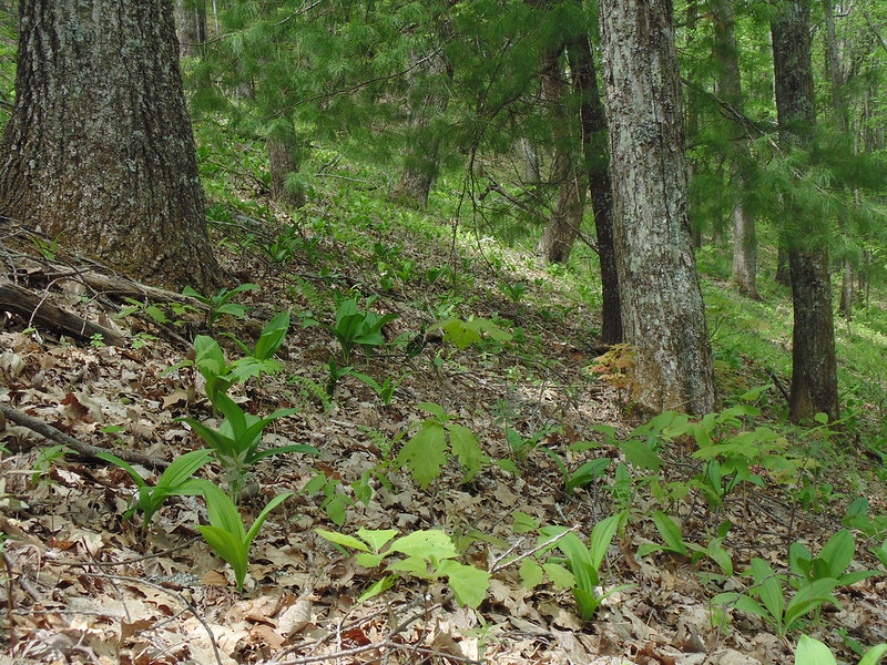
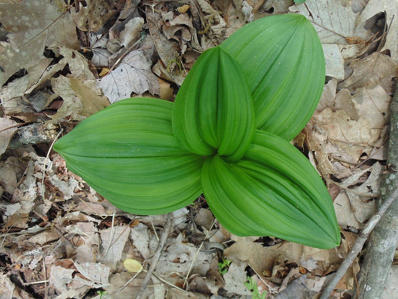
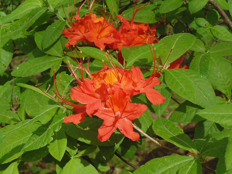
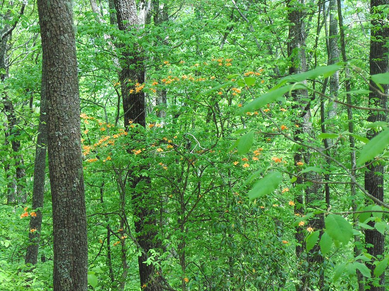
Couple of azaleas, orange to left, yellow orange to right. Slope difficult to stand on.
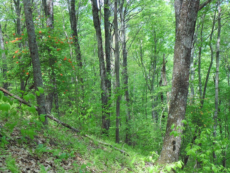
quite flashy
Finally to top, looking south, 25-30 mph wind. Warm air from the gulf ~85F
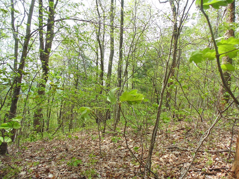
Strong wind sweeping leaves
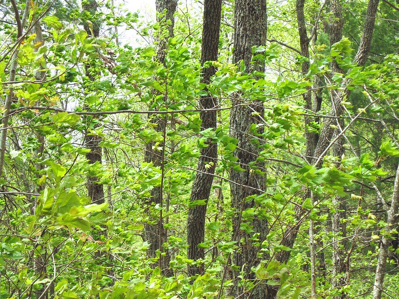
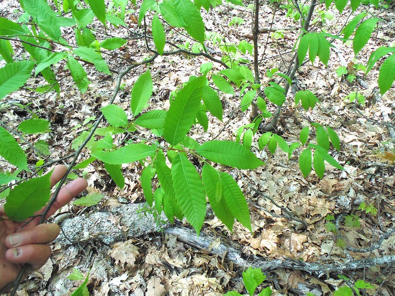
Piece of American history, an American Chestnut sapling. Blight will find it soon.
Chestnuts covered this territory. Easy to split, burns hot and hardly rots.
most original log cabins in area made of Chestnut.
en.wikipedia.org/wiki/Chestnut_blight