|
|
Post by rockpickerforever on Jul 24, 2017 9:18:09 GMT -5
We went up to the east of Julian, down Banner Grade on Saturday to check out a couple old mine tunnels. Afterwards, we spent about five hours on our club's Banner claim, filling buckets with classified material to bring home and process. Will post some pics of that later, when I've got more time.
We worked the claim until almost 7:30pm, then drove home. It was evident once we came up the hill and had a view to the west that there had been a fire somewhere, as the sky was full of smoke. Did not find out where it was located until after we got home.
First two photos taken in the town of Julian. 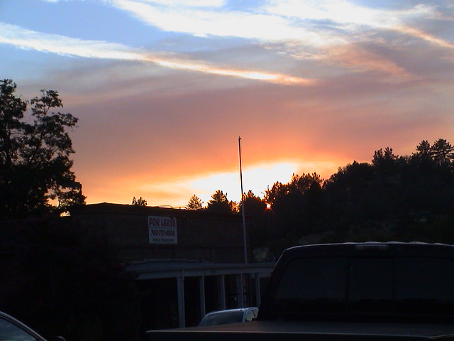
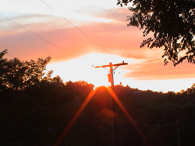
Taken along Hwy 79, south of Julian.
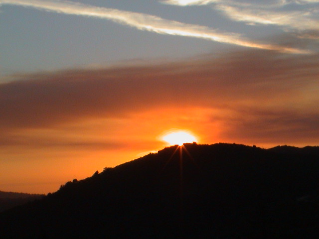
Next two pics taken from just west of Lake Cuyumaca.
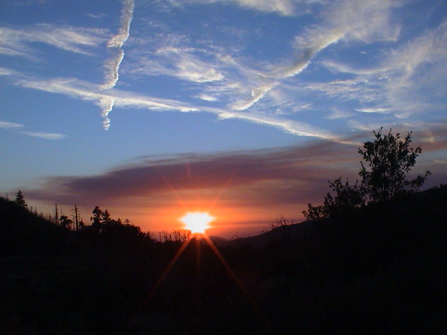
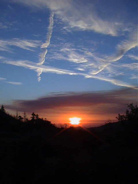
Turned out, the fire was burning about four miles north of Warner Springs, south of Chihuahua Valley. It had started several hours earlier at around 3 pm. Two campgrounds, a Boy Scout one and a Forest Service campground, Indian Flats were evacuated. There was also a voluntary evacuation for some residents in the area. Last I heard, it had only burned about 250 acres. Not so bad as the fires in Mel's old stomping ground, but still enough damage caused. So far, have not even heard speculation about the cause. It was 91 degrees in Julian Saturday.
Cal Fire is calling it the Lost Fire (Lost Valley Road). High temperatures, heavy brush and steep, rocky terrain have made fighting the fire difficult. Evacuation orders were lifted as Sunday afternoon, when the fire was 40% contained.
More later.... Jean
|
|
|
|
Post by wigglinrocks on Jul 24, 2017 9:22:37 GMT -5
Great pics caused by a bad situation .
|
|
Fossilman
Cave Dweller 
Member since January 2009
Posts: 20,723 
|
Post by Fossilman on Jul 24, 2017 11:49:43 GMT -5
Sad to say most sun rises and sunsets, that are beautiful,are caused by pollution,fires and the bad weather..
|
|