|
|
Post by 1dave on Aug 10, 2017 12:36:07 GMT -5
Introduction:
I've divided this LONG tour into 8 sections, each with a }TRANSPORTER{ to "beam" you around. *=}TRANSPORTER{=* 1. The North Painted Desert Loop2. The area between old US-66 and the railroad3. The area around Rio Puerco, Puerco Pueblo, Newspaper Rock, and the Tepees4. Blue Mesa, Agate Bridge, and the Jasper Forest5. Crystal Forest6. Long Logs and Agate House7. Rainbow Museum8. Big LogsThis tour is made possible by the serendipitous coinciding of A. RTH's RockShow with it's Browser and Flash up-loaders that are far handier than **** ever thought of being! B. Google Earth Pro (free!), and C. A Google Maps Street person that visited the park in October of 2014. D. Paint.Net - a GREAT free image editing program  www.google.com/streetview/# www.google.com/streetview/#Not only did the street person drive most of the park roads, he hoisted his backpack camera and walked the main trails. From time to time we catch his shadow and even his vehicle in the images he took.  www.google.com/streetview/loan/ www.google.com/streetview/loan/Google Technology allows us to zip above the landscape and then beam down anywhere they filmed! 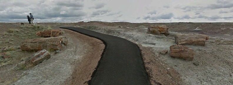 Their technology allows us to "stand" anywhere they stood and take snapshots of anything in the sphere that surrounded them. I took the opportunity from time to time to look down into the "blur" where he stood and see the yellow track lines where the scenery was so compelling that he looked many different directions before moving on.  I could have taken the time to snap thousands, even millions of fantastic images from his "photo-sphere." First, an introduction to the geology of the park.Pangaea 360MA-250MA RIP Early history of the park began around 250 million years ago - when some as yet undetermined force initiated the breakup of Pangea. I suspect a very large asteroid or comet impact, but it could have just been a rebound from their original collisions. Imagine that - a collision continuing for a hundred million years, then rebounding for another hundred million years -  INCONCEIVABLE!   The world was a very different place 250 million years ago. What a difference an inch makes over time! North America was about 3,000 miles closer to Europe. The moon was about 4,000 miles closer with more powerful tidal forces. Plants and animals had successfully invaded the land, but as the North American Continent was forced west IMO the Pacific sea floor finally buckled, sending a huge wave eastward, scouring the geological layer named Moenkopi, burying millions of trees in the receding sand and water of a hundred foot thick two blanket layer known to geologists as the Shinarump (wolf's hind quarters - for the way it slumps). That layer contains a lot of petrified logs in Nevada, but by the time it reached Utah and Arizona, it became 75% conglomerate. So the further east the water went, the smaller the pieces became. Two Blanket layer? As the water went in it "scoured" the land. As it went out it left "Cuspate ripple marks ... stained brown by iron oxide, which may be a result of weathering."  Westward pressure continued as volcanic ash from Pre-California covered the area, creating the Chinle Painted Desert. Then 25 million years later, the sea floor buckled again - at least twice, creating two layers of petrified wood! The event was violent, stripping all of the tree limbs off. The animals were there. has anyone ever heard of their remains being found? YES!  In the original report on the Docum layer in the panhandle of Texas we read:  That catastrophe stretched from Nevada to West Texas. There in that layer we find the colorful tree trunks buried in the "Petrified Wood Member of the upper Chinle Formation"  Here is a guess at what it looks like under the park topsoil: 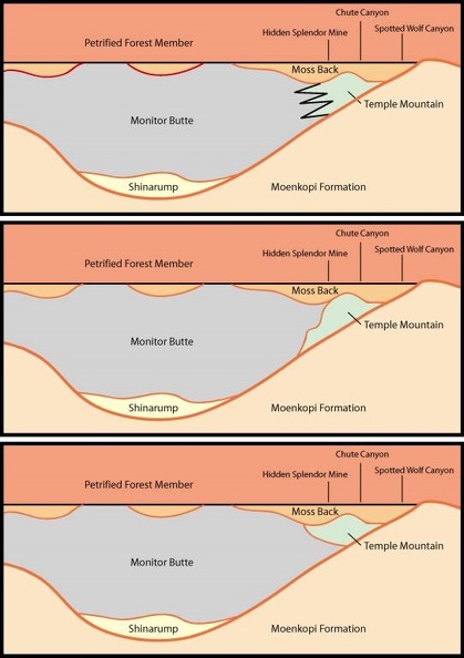 And here is where remnants of those layers are found exposed today.  One look at the age and order in the rock columns:  Another more local column, therefore handier for us to grasp what we are seeing above and below the logs as we tour the park.  And finally a handy map to guide us on our way that you can download, enlarge, and print.  Let's get started.
|
|
|
|
Post by 1dave on Aug 10, 2017 12:36:25 GMT -5
*=}TRANSPORTER{=* Introduction1. The North Painted Desert Loop2. The area between old US-66 and the railroad3. The area around Rio Puerco, Puerco Pueblo, Newspaper Rock, and the Tepees4. Blue Mesa, Agate Bridge, and the Jasper Forest5. Crystal Forest6. Long Logs and Agate House7. Rainbow Museum8. Big LogsUsing Google Earth Pro to soar above the area allows images never before possible even with a plane or helicopter. 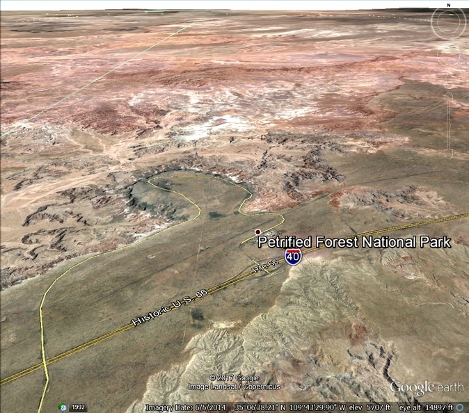 We can use the mouse to move around, but the two circles in the upper right hand corner are handy. Th "N" on the top outer ring allows us to rotate the view in any direction. Click on the N and it returns to pointing north. The Top Inner Circle allows us to tip the image in any direction, the further from the center, the more drastic the movement. The Lower Circle allows us to scroll in any direction. The Scale allows us to zoom in and out. Drag the Little Person down to any path the street crew has taken to take in the local sights up close and personal. 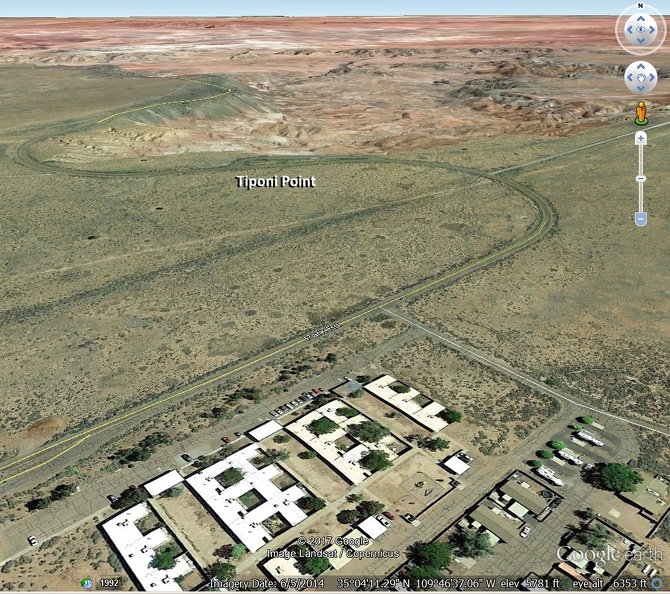 1. 1. So let's zoom in on the first stop, Tiponi Point.  Use the little person to see if the Street Crew has been there -  YES! You can take time to look around and see what he saw and how others in the park reacted to him. 2. The next view point is tiny and unnamed, but he stopped.    3. 3. The next stop is Tawa Point. There is a trail to walk if you wish, to the next and Major View Point. 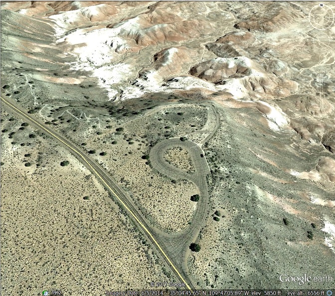 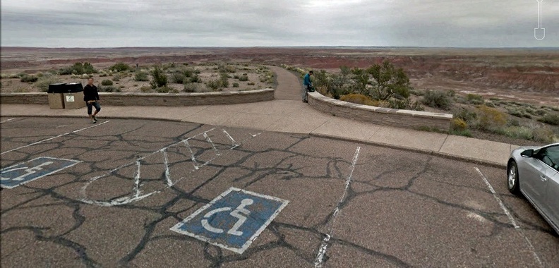   From Tawa and Kachina Points you are looking down into big wide Lithodendron Wash -"Stone tree", - named in 1853 by Lt. Amiel Whipple who was scouting for a railway route. More about that later with Newspaper Rock. In 1888 fifteen tons of petrified wood were shipped from Holbrook. The Jasperized Wood Company and Armstrong Abrasives of Chicago wanted to crush the rocks for grindstones and emery wheels. This was stopped by the Antiquities Act of 1906. 4. Kachina Point Has a lot of history from the 1880's through WWII that I hope to share before this thread is done. To look at those stuccoed walls it is hard to guess that the original structure buried in them is mostly petrified wood - built by the PARK SERVICE! And THEY get upset over someone picking up a sliver of wood? Hopefully later I will get around to sharing about "the Stone Tree House," "the Painted Desert Inn," Fred Harvey, and the "Harvey Girls.  1931- Albert Einstein and wife visited. 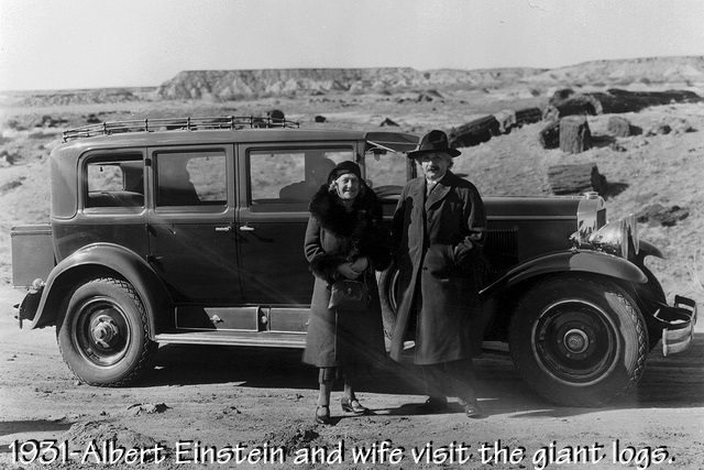 1937 - CCC boys begin remodeling. 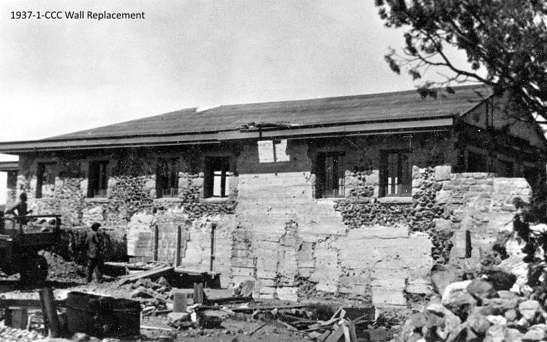  1937-CCC-Pouring a Ceiling/floor  New Front Rooms.  1950 The Harvey Girls  Aerial View from 1957  Our favorite Google Street person walked all around Kachina Point in 2014, where there are at least still restroom facilities and a small museum.    Notice the light wide streak along the left side path above? that is our cameraman's path. Oh, he parked right over there.    5. 5.Chinde Point is the next stop with restroom, picnicking and camping facilities. A permit is needed for overnight camping.     6. 6. Pintado Point.  7-9. Nizhoni, Whipple, and Lacey Points.  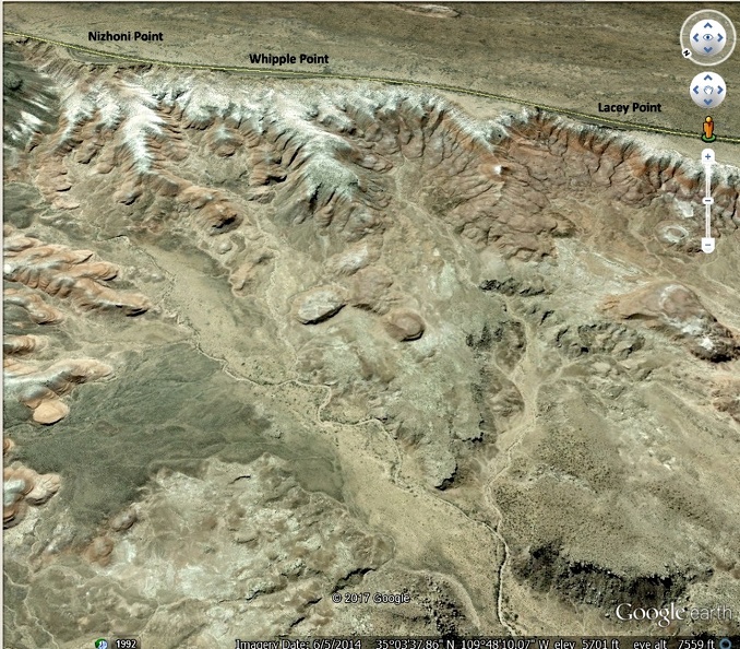 on to the next section. |
|
|
|
Post by 1dave on Aug 10, 2017 12:36:37 GMT -5
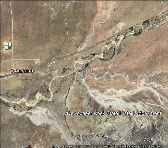
*=}TRANSPORTER{=* Introduction1. The North Painted Desert Loop2. The area between old US-66 and the railroad3. The area around Rio Puerco, Puerco Pueblo, Newspaper Rock, and the Tepees4. Blue Mesa, Agate Bridge, and the Jasper Forest5. Crystal Forest6. Long Logs and Agate House7. Rainbow Museum8. Big LogsThe road leaves the north circle and heads south to encounter the remains of Old US-66, the route I drove on to work here back in 1961.          Next to be encountered is the railroad and the Rio Puerco - "Pig River" or more correctly, the Dirty River that is always muddy. Next to be encountered is the railroad and the Rio Puerco - "Pig River" or more correctly, the Dirty River that is always muddy.  The railroad reached here in 1896, and the town of Adamana was founded with a post office at that time. The town was named for Adam Hanna, but as time passed the name was shorted to its present form. It was a railroad stop and a ranching settlement that was once known as the “Gateway to the Painted Desert.” At its height as a town, Adamana had about 30 families, a post office, a school and a general store, as well as a prominent hotel. When a gas plant was established in Adamana and the Interstate 40 passed it by, the residents began to leave. The hotel burned down in 1965, the post office closed, and it is pretty much just a ghost town today. Adamana is well known among meteorite buffs for the famous “Adamana Meteorite,” that passed over the town on July 19, 1912. It exploded not too far east of Adamana along the railroad tracks. It is estimated that about 16,000 pea sized stones pelted the ground. One of the pieces, though, weighted a reported 14.5 pounds. 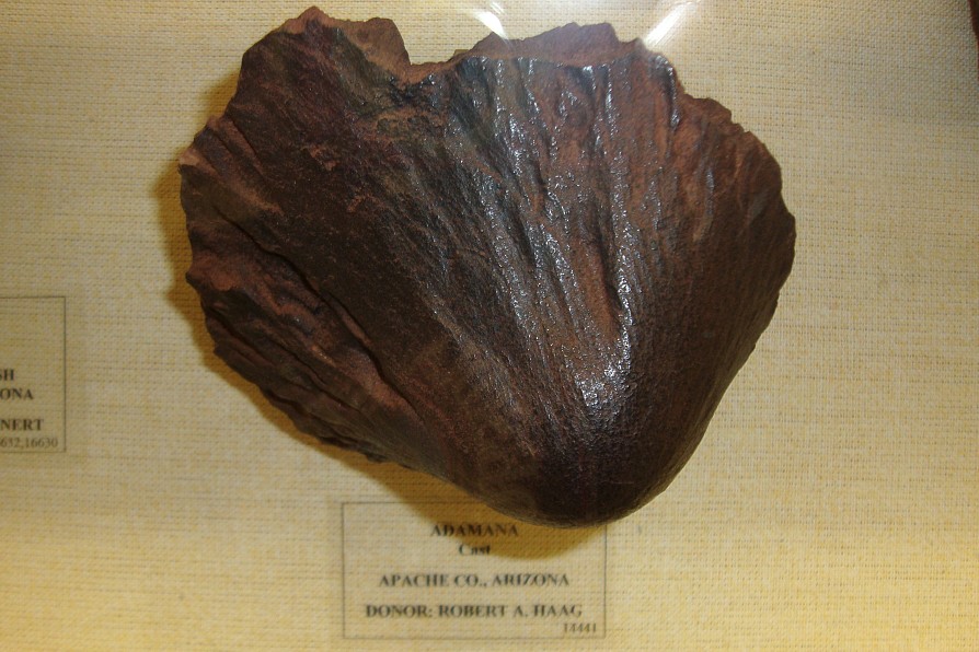 25 miles to the west, the Puerco river joined the Little Colorado River, providing enough water for a community to survive. it was originally named Horsehead Crossing until the arrival of the railroad, it was renamed for Henry Randolph Holbrook, Chief Engineer for the Atlantic and Pacific Railway. The railroad fell on hard times and sold one million acres of land along it's Arizona right-of-way to the famous "Hash-knife" cattle company that loaded up 32,000 cattle from their drought stricken Texas lands and scattered them all along their new pastures. Although their name was the Aztec Cattle Company, their brand became their name. 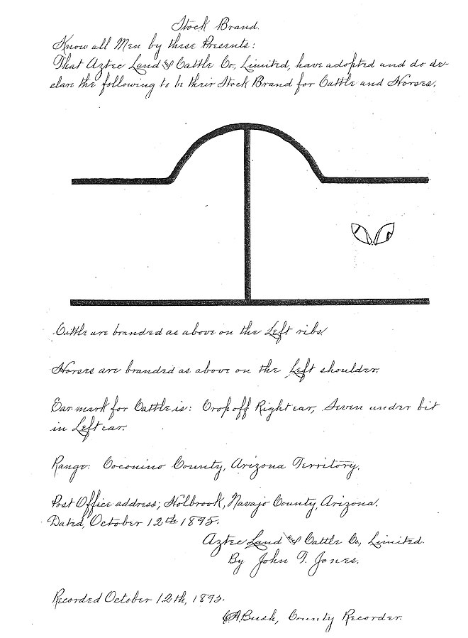  A hashknife was an implement frequently found on a chuckwagon for cubing vegetables and meat. With the railroad came the cows and mayhem of the Hashknife ranch cowboys who treated Holbrook like another Dodge City.  The Saloon was built and named after Santiago Baca. Another saloon down the street was "the Cottage saloon," but the morning a customer entered to find it drenched in blood and two bodies, it became known as "The Bucket of Blood." Commodore Perry Owens was the first sheriff.  The next sheriff was Frank Wattron, "a potent factor in preserving law and order'" and "a bad man to cross."  A copy was delivered to US president William McKinley who promptly sent a condemning it to Arizona territory Governor Nathan Oaks Murphy who made Sheriff Wattron make a corrected version.  Hashknife cowboys.  Just beyond the Rio Puerco is the remains of an ancient Native American Village named after the river, Puerco Pueblo. Around 1300 Puerco Pueblo had about 100 r00ms housing around 200 people. The one-story high village of hand-shaped sandstone blocks was built around a rectangular plaza. The rooms were living quarters and storage, but most activity, like cooking and craftmaking, took place in the plaza. There were also several underground rooms, called kivas, where ceremonial practices took place. There were no doors or windows in the plaster-covered exterior walls of the pueblo. Entry into the village was by ladders over the wall and across the log, brush, and mud roofs of the room blocks. Because of climate change it was all but empty by 1380. Only the sandstone bricks, potsherds, stone tools, petroglyphs, and other artifacts and features remain to tell their story. 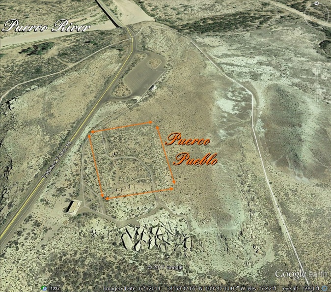   Leaving the village . . . 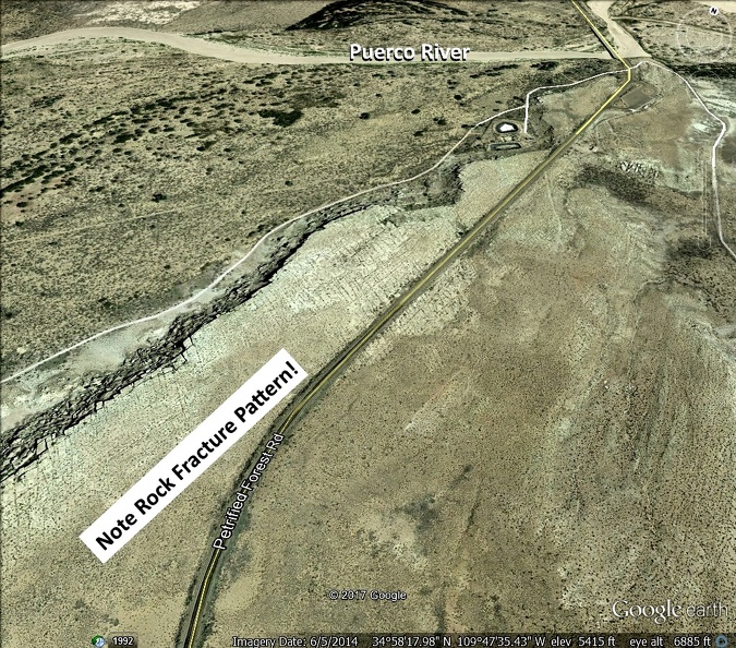 |
|
|
|
Post by 1dave on Aug 10, 2017 12:36:51 GMT -5
|
|
|
|
Post by 1dave on Aug 10, 2017 12:37:02 GMT -5
|
|
|
|
Post by 1dave on Aug 10, 2017 12:37:14 GMT -5
|
|
|
|
Post by 1dave on Aug 10, 2017 12:37:28 GMT -5
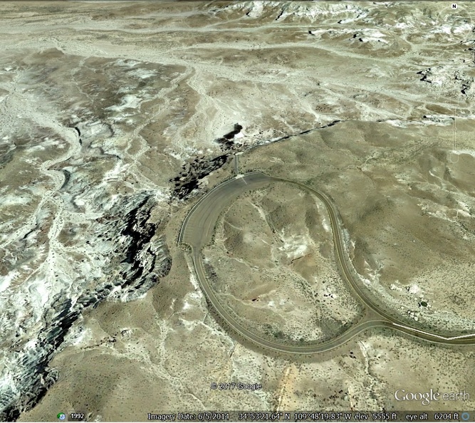
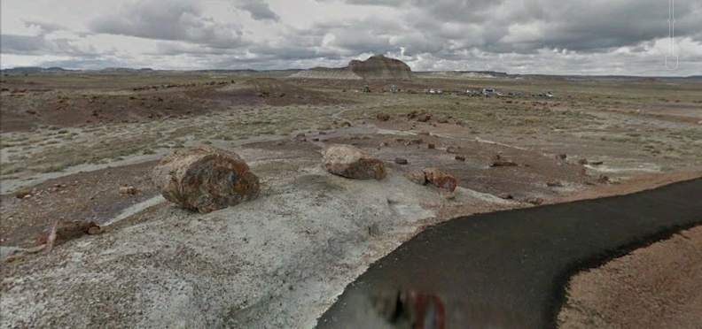
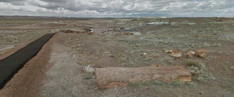
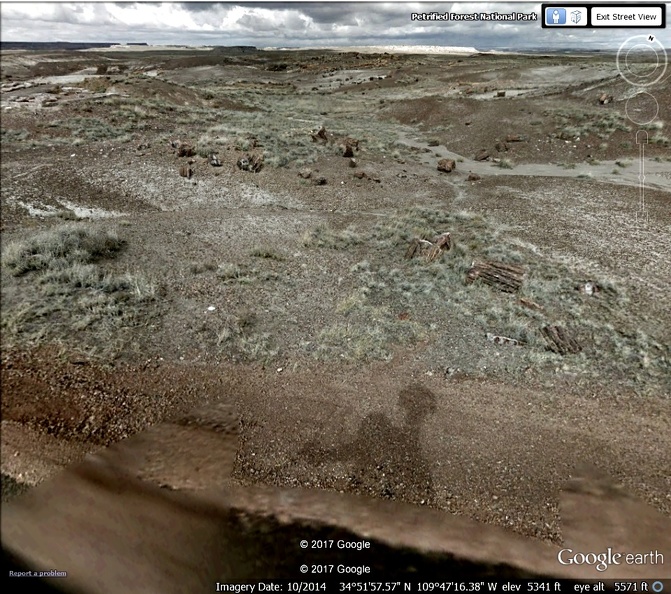
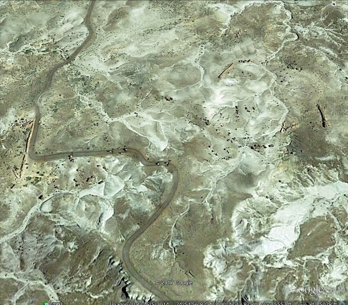
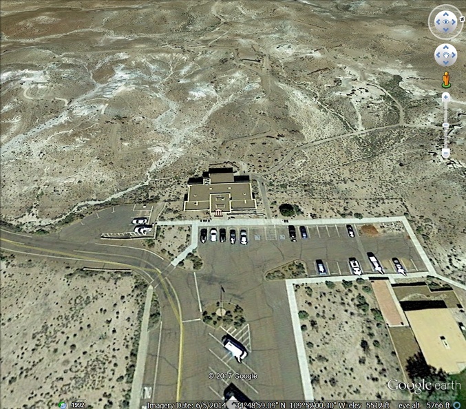
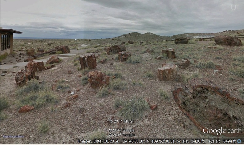
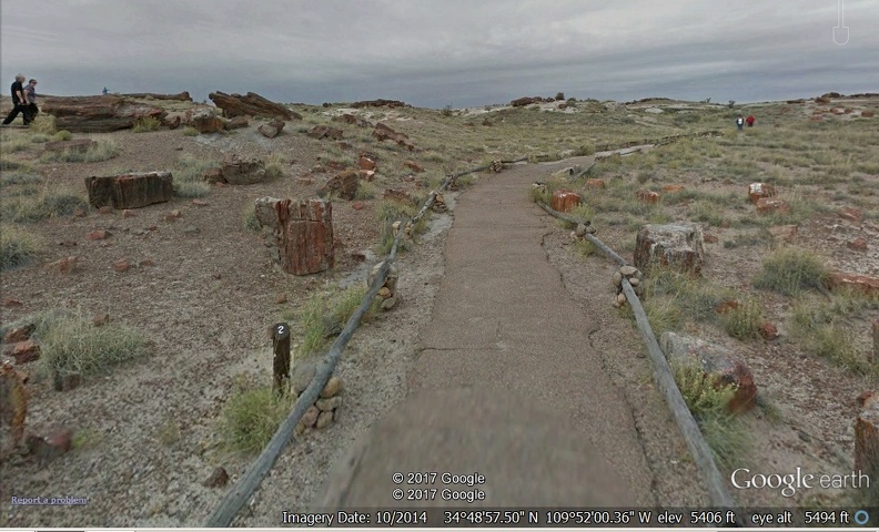
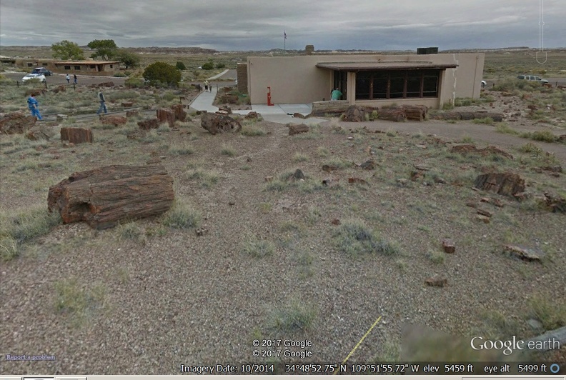
*=}TRANSPORTER{=* Introduction1. The North Painted Desert Loop2. The area between old US-66 and the railroad3. The area around Rio Puerco, Puerco Pueblo, Newspaper Rock, and the Tepees4. Blue Mesa, Agate Bridge, and the Jasper Forest5. Crystal Forest6. Long Logs and Agate House7. Rainbow Museum8. Big LogsThe next road left takes us to one of my favorite places, where we get to wander among hundreds of long petrified logs AND visit an Agate (petrified wood) House built by the ancient inhabitants of the area. The Park Museum buildings appear in the distance on the right side of the road, and a reduced speed sign comes into view.  What's this? A "No Parking" sign?  And it is not a road, just a walking path! Well, where is the parking?  The ONLY parking is in the Museum Parking Lot on the other side of the Jim Camp Wash. From there it is a half mile walk to reach the first petrified wood. 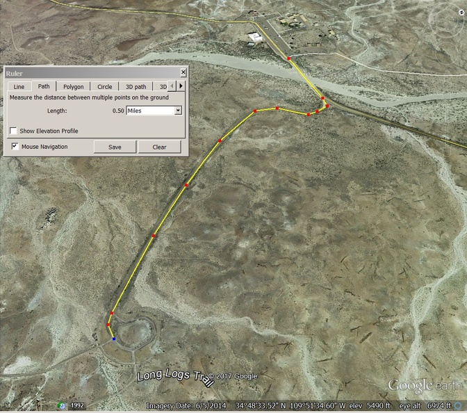 There is a sign on the right directing us to "The Long Logs Loop," but most of the long logs are near the end of the loop, so I advise taking the path to the left instead.  The path to the south will eventually get you to the Agate House. Note the demolished road in the lower left hand corner that used to lead between local ranches.  If I may make a suggestion, Why not put in a parking lot HERE - or even closer to the action?  Enough of that! Let's visit the agate House first, built by Native Americans long ago.  First approach. 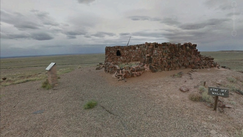 The sign out front. 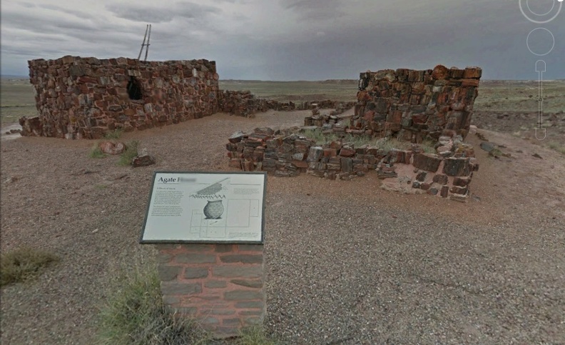 A closer look.  A peek around the corner.  Looking from the other corner.  Ad now for the Long Logs. I followed our intrepid cameraman - the Long Long Way around.  Lots of logs on all sides, much like the crystal forest.  Skipping way ahead, I stopped in one spot and turned around as I took 8 pictures. I placed a temporary pin "Lots of Logs."       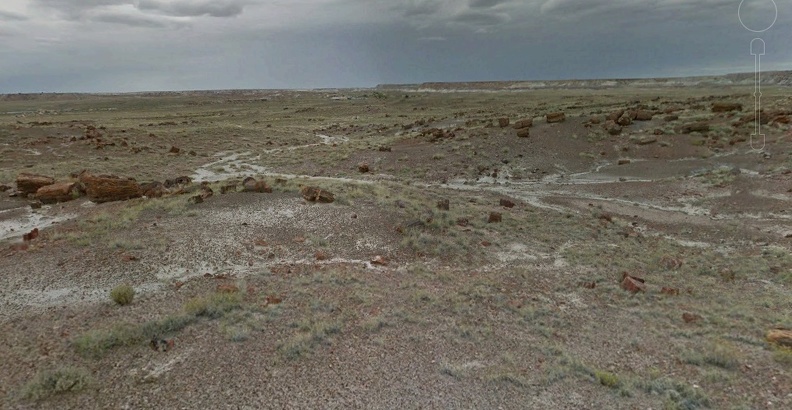  Soon after, the trail reached the Long Logs.      |
|
|
|
Post by 1dave on Aug 10, 2017 12:37:41 GMT -5
|
|
|
|
Post by 1dave on Aug 10, 2017 12:37:53 GMT -5
|
|
|
|
Post by MrP on Aug 10, 2017 15:53:42 GMT -5
1dave Thank you for doing this. You make sure a person has to learn something new all the time. I love learning so thanks............................MrP |
|
|
|
Post by fernwood on Aug 11, 2017 9:01:05 GMT -5
Amazing. Thanks
|
|
|
|
Post by 1dave on Aug 11, 2017 11:42:03 GMT -5
I'm just getting started. I even have a lot more to add to part 1. |
|
|
|
Post by fernwood on Aug 11, 2017 11:46:20 GMT -5
I never had a chance to get to the Pet Forest while living in AZ. Just the random areas around Chinle.
|
|
|
|
Post by petrifiedwoodfarm on Aug 13, 2017 16:34:34 GMT -5
1dave, thanks for this! To me it is quite personal, since our property is but just 3mi from some of the pictures in this collection! Must take the time to visit in the near future. I sure miss our property, The Arizona Petrified Wood Farm!
Michael
|
|
|
|
Post by 1dave on Aug 14, 2017 6:54:58 GMT -5
1dave, thanks for this! To me it is quite personal, since our property is but just 3mi from some of the pictures in this collection! Must take the time to visit in the near future. I sure miss our property, The Arizona Petrified Wood Farm! Michael When you do, please be sure to share some photos here. |
|
|
|
Post by 1dave on Aug 16, 2017 16:24:30 GMT -5
Hopefully I have shared enough that my mind will let me rest on this subject for a while.
|
|
Tommy
Administrator 
Member since January 2013
Posts: 12,958
|
Post by Tommy on Aug 16, 2017 22:06:15 GMT -5
Dave this is wonderful  I skimmed it the first time, now I have to go back through it and try to absorb it  |
|
|
|
Post by rockjunquie on Aug 16, 2017 22:21:37 GMT -5
I don't feel like I need to go there now. Been there! Thanks Dave!
|
|
|
|
Post by 1dave on Aug 20, 2017 13:53:32 GMT -5
My questions about the Long Log area trees: 1. how many are there? 2. how were they felled? 3. how many have limbs attached? 4. how many have tops attached? 5. how many have roots attached? I snagged a google image of a portion of the Long Logs Area, re-sized it X10 and counted only the long logs, no short pieces. 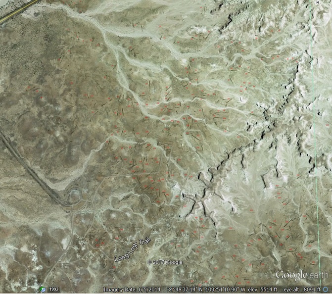 My answers are 1. how many are there? . . . . . . . . . = Over 210 2. how were they felled? . . . . . . . . . = Brutally 3. how many have limbs attached? . . = Zero 4. how many have tops attached? . .. = Zero 5. how many have roots attached? . . = zero |
|
|
|
Post by 1dave on Jan 13, 2018 10:30:21 GMT -5
|
|


 INCONCEIVABLE!
















 I skimmed it the first time, now I have to go back through it and try to absorb it


