Post by jamesp on Oct 8, 2017 10:21:27 GMT -5
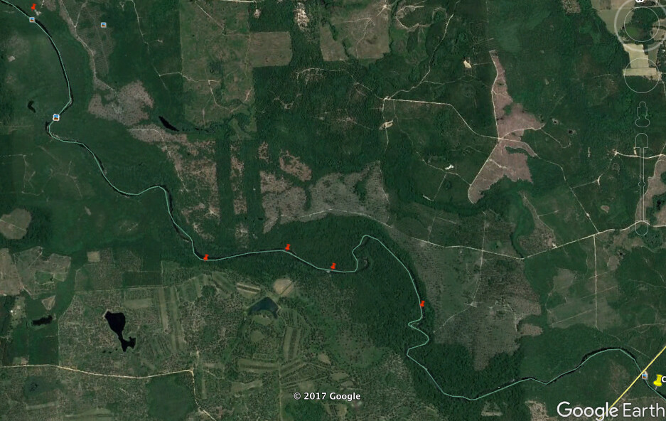
Map of 4 mile route. First pin upper left corner is boat put in.
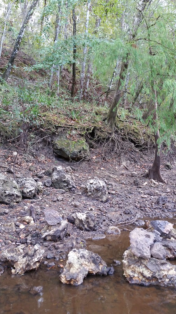
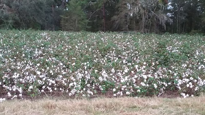
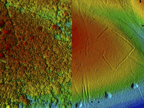
Second pin 3 miles dow is high plateau noted by farmer's crops close to the river. About 3 miles down stream.
Significance of high spot close to river:
1) probable site for fossil coral formation since shallow water probably occurred there when ocean was high during hot age.
2) first high spot for miles providing access to river by native man
3) farmer has disturbed the plateau exposing artifacts on table above. Love hunting artifacts.
The high plateau did end up being the first coral source for the first 3 miles of the trip.
I did not hike up to the plateau to hunt for artifacts. Next time.
On these rivers, you find coral next to high land expect Native man's presence.
Google earth makes finding high land close to the river easy. you can drag the pointer and watch the elevation indicator.
However, if there is high land in this area it will be cultivated clearly visible from satellite, so a no brainer.
River elevation 76 feet, farmers field above 120 to 145 feet. El primo coral formation at 85 to 110 feet elevation.
Coral has a bandwidth of water depth.
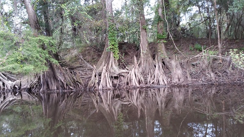
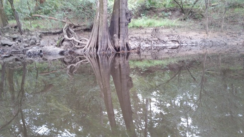
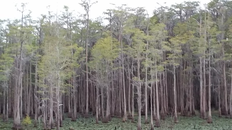
The dark green lush vegetation on each side of the river for the first 3 miles is simply gum and cypress swamps.
Not a place Native man would inhabit. Too low for coral formation in ancient times.
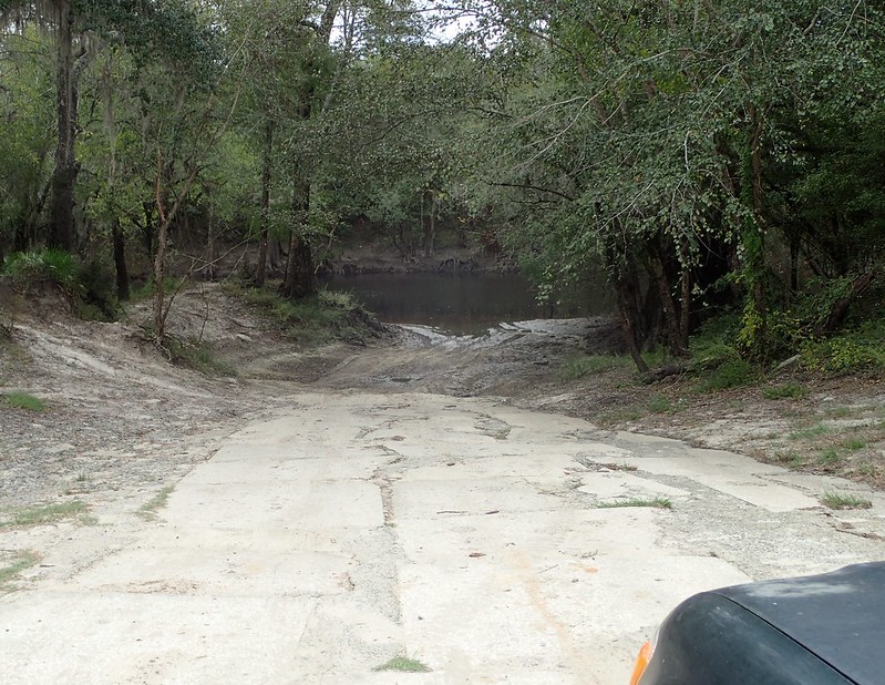
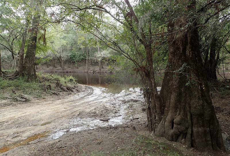
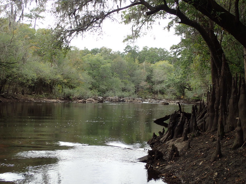
Intimidating boat ramp. 4WD mandatory. Must back way out in river to float boat off trailer. Water entering door seals.
Closest house 6 miles, no cell coverage.
first off, went about 1.5 miles upstream. Nothing but muddy limestone.
Aluminum boat will let you know if silicified rocks are present by scratching sounds when dragging bottom at shoals.
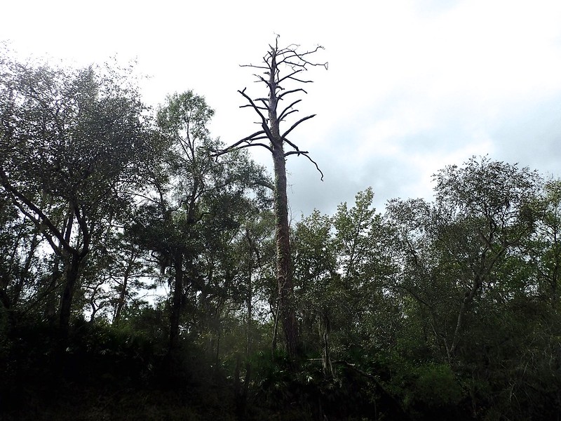
Large long leaf pine was a lightning strike victim
still heading upstream
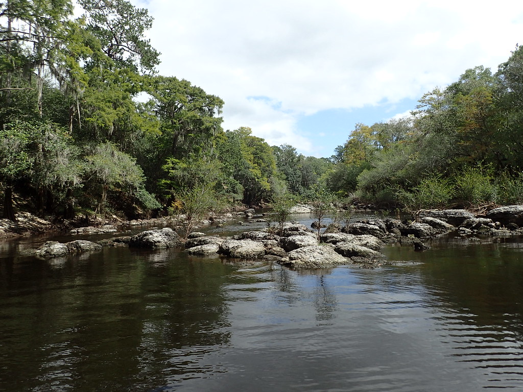
First big shoal, no coral, just muddy limestone
Made it past this shoal, turned boat around and looking back down stream at shoal. Very pretty spot.
This shoal will give mud boat operators a challenge fantastic5. No coral. Heading back down stream. Waste of time.
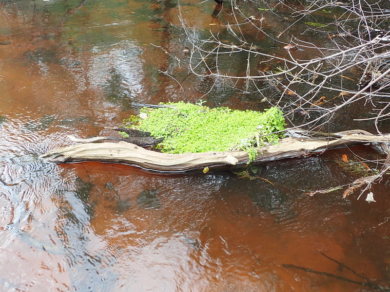
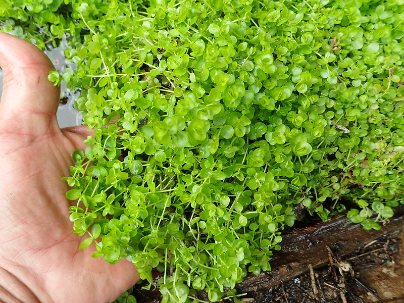
Cool aquatic plant I had collected on this river over the years. Great seller. Cypress drift wood.
Performed an artifact test. Sifted the gravel to find Native man's chips. Nary a one.
Telling there is likely no coral anywhere close and Native man did not use this crossing.
Native man used the occasional shoals for crossings. Their bridges. High probability of artifacts.

Heading back downstream about a mile below where boat was put in. All muddy limestone
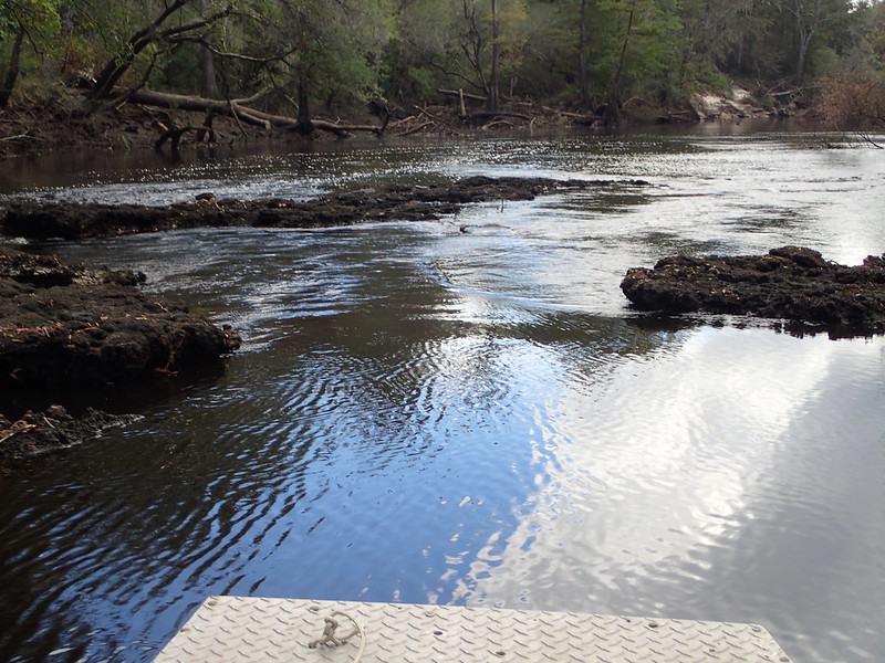
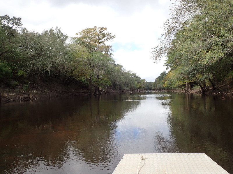
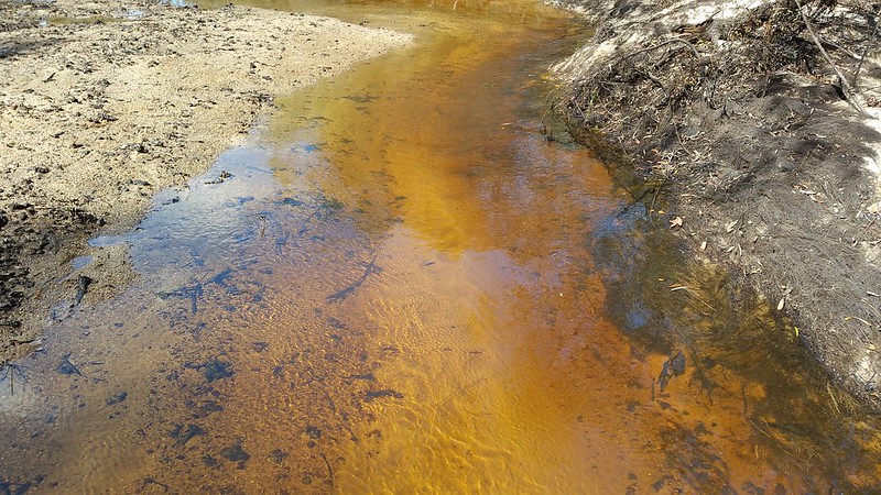
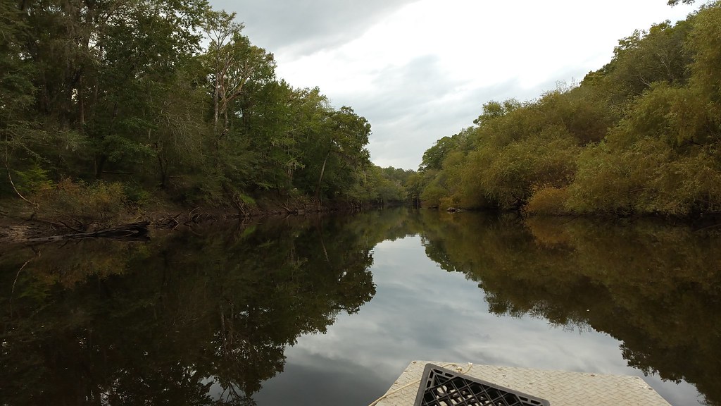
Tannic stained water
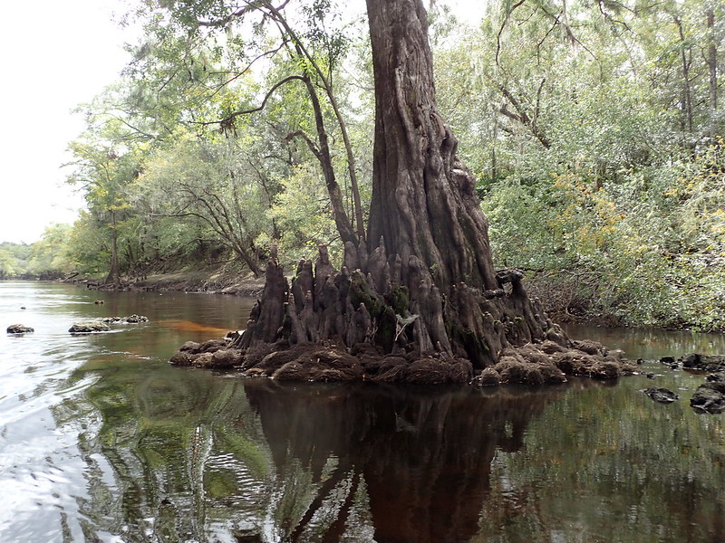
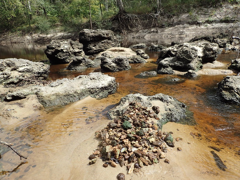
At 3 miles downstream, high bluff and lots of coral
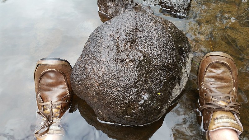
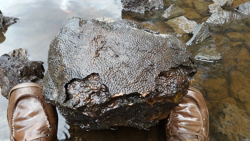
Museum grade coral head at mile 3.5. Too big for my saw. About 20" X 16" X 15". full of botryoidal cavities.
I see these often. Leave them behind as I have no saw large enough to cut them.
This is one of the best I have ever seen. 36 to 48 inch saw fodder.
Plus dead weight in boat makes return trip much more difficult.
i doubt many people have been down here at low water in a boat. requires specialized boat.
Lots of pretty coral here. Untouched. Must come back. It is a difficult trip. This is the 4th pin on the map.
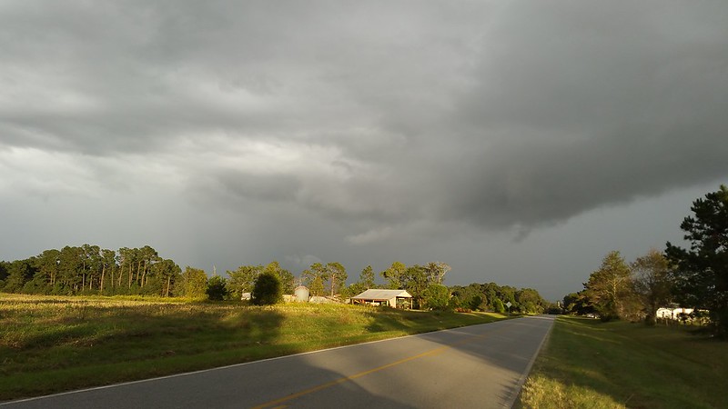
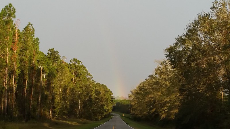
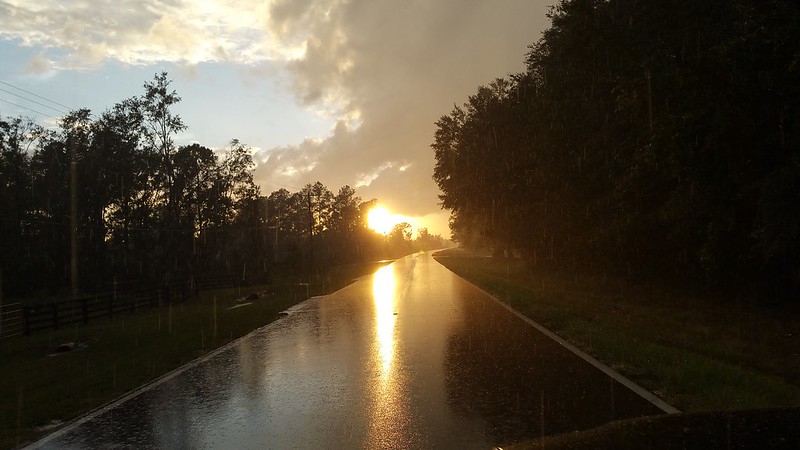
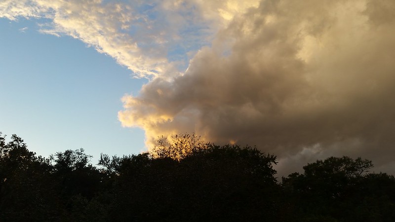
Starting back. ~6PM. Long trip back. Black clouds.
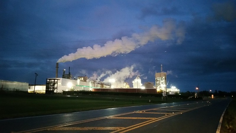
pulling onto pavement, weather ominous. Escaped a dowsing
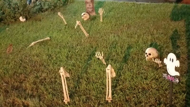
Stopped for fajitas. Festive halloween setting at taqueria.
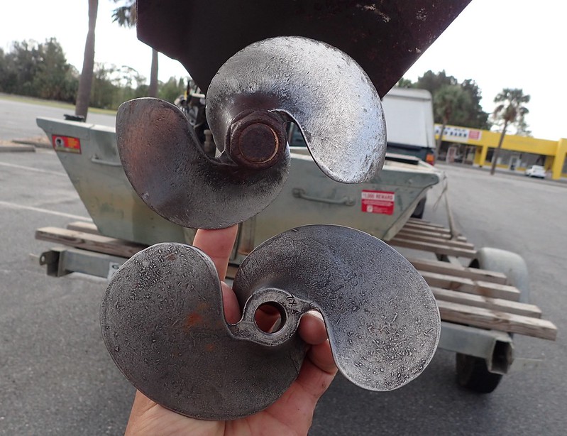
Effects of shoals on heavy duty stainless prop. This one with about 15 trips wear. Used vs new. Go-Devil Mfg. will weld them back to size.
Rugged prop is critical, broken prop will shut trip down.
Second pin 3 miles dow is high plateau noted by farmer's crops close to the river. About 3 miles down stream.
Significance of high spot close to river:
1) probable site for fossil coral formation since shallow water probably occurred there when ocean was high during hot age.
2) first high spot for miles providing access to river by native man
3) farmer has disturbed the plateau exposing artifacts on table above. Love hunting artifacts.
The high plateau did end up being the first coral source for the first 3 miles of the trip.
I did not hike up to the plateau to hunt for artifacts. Next time.
On these rivers, you find coral next to high land expect Native man's presence.
Google earth makes finding high land close to the river easy. you can drag the pointer and watch the elevation indicator.
However, if there is high land in this area it will be cultivated clearly visible from satellite, so a no brainer.
River elevation 76 feet, farmers field above 120 to 145 feet. El primo coral formation at 85 to 110 feet elevation.
Coral has a bandwidth of water depth.
The dark green lush vegetation on each side of the river for the first 3 miles is simply gum and cypress swamps.
Not a place Native man would inhabit. Too low for coral formation in ancient times.
Intimidating boat ramp. 4WD mandatory. Must back way out in river to float boat off trailer. Water entering door seals.
Closest house 6 miles, no cell coverage.
first off, went about 1.5 miles upstream. Nothing but muddy limestone.
Aluminum boat will let you know if silicified rocks are present by scratching sounds when dragging bottom at shoals.
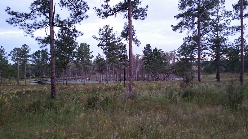
Large long leaf pine was a lightning strike victim
still heading upstream
First big shoal, no coral, just muddy limestone
Made it past this shoal, turned boat around and looking back down stream at shoal. Very pretty spot.
This shoal will give mud boat operators a challenge fantastic5. No coral. Heading back down stream. Waste of time.
Cool aquatic plant I had collected on this river over the years. Great seller. Cypress drift wood.
Performed an artifact test. Sifted the gravel to find Native man's chips. Nary a one.
Telling there is likely no coral anywhere close and Native man did not use this crossing.
Native man used the occasional shoals for crossings. Their bridges. High probability of artifacts.
Heading back downstream about a mile below where boat was put in. All muddy limestone
Tannic stained water
At 3 miles downstream, high bluff and lots of coral
Museum grade coral head at mile 3.5. Too big for my saw. About 20" X 16" X 15". full of botryoidal cavities.
I see these often. Leave them behind as I have no saw large enough to cut them.
This is one of the best I have ever seen. 36 to 48 inch saw fodder.
Plus dead weight in boat makes return trip much more difficult.
i doubt many people have been down here at low water in a boat. requires specialized boat.
Lots of pretty coral here. Untouched. Must come back. It is a difficult trip. This is the 4th pin on the map.
Starting back. ~6PM. Long trip back. Black clouds.
pulling onto pavement, weather ominous. Escaped a dowsing
Stopped for fajitas. Festive halloween setting at taqueria.
Effects of shoals on heavy duty stainless prop. This one with about 15 trips wear. Used vs new. Go-Devil Mfg. will weld them back to size.
Rugged prop is critical, broken prop will shut trip down.


 Al Falfa