Post by fernwood on Feb 19, 2018 9:14:35 GMT -5
Fascinating.
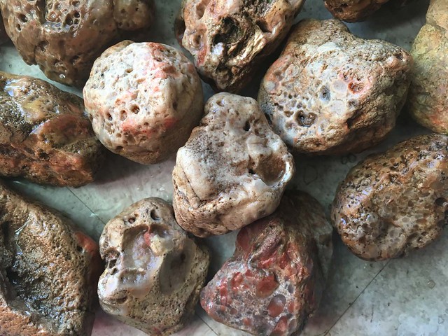
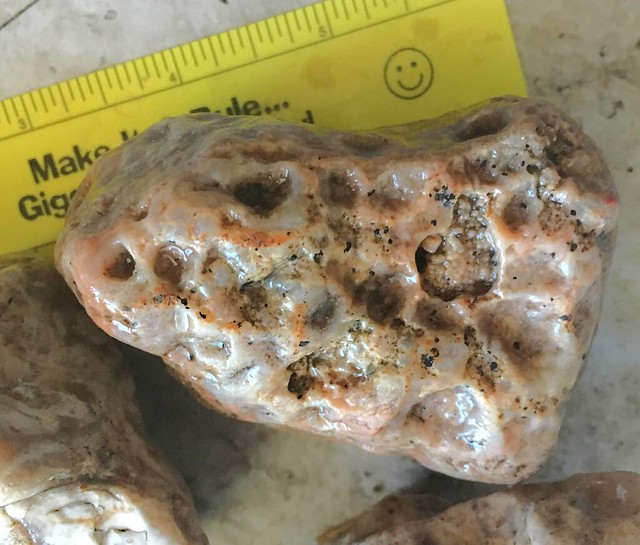
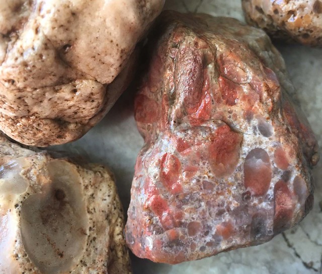
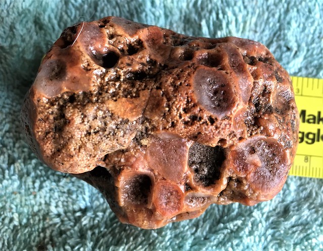
In my quest to learn more about the geological history of the area I found this. Previously, I had been told that my land was just East of Glacial Lake Wisconsin, which could explain some of the rock oddities/fossils I was finding. The land was also on the Western extent of the Laurentide Ice Sheet, Green Bay Glacial lobe.
For anyone familiar with the Laurentide Ice Sheet, it reached to Northern Canada and covered a significant portion of the upper USA and was the last glacier to effect the area.
While reading this abstract, I learned that Lake Wisconsin, was one of two significant glacial lakes. The larger one was Lake Oshkosh. Lake Oshkosh covered my land. There were also, other intermittent lakes and rivers which covered the land. The abstract states that the Western edge of the Green Bay Lobe likely had an edge of 100' to 200', filled with rocks and debris. From this edge, it sloped upward to the center of the glacier. The furthest extent known of the glacier ends on my land! Amazing.
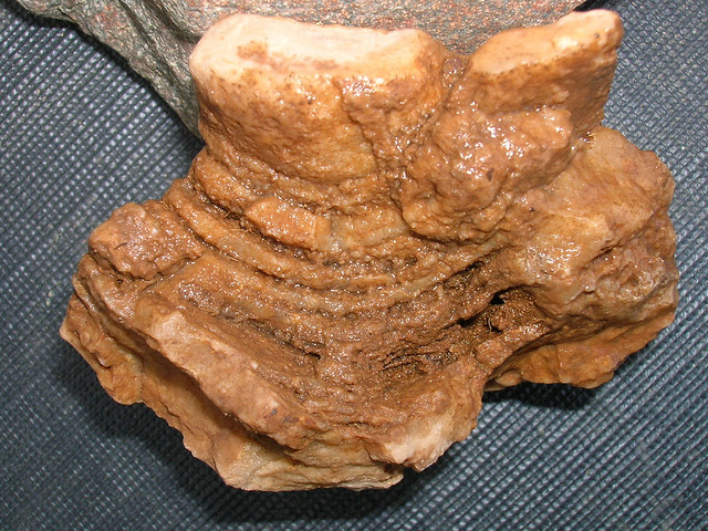
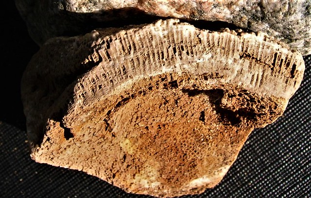
Everything is becoming a lot clearer now. When the glacial lobe melted, the rocks were deposited into what is now called Lake Oshkosh, but is long gone. The bottom of the lake was filled with what the glacier had collected during its journey South. Since the glacier had knocked down a major salt water marine ridge, those fossils are on the land. Other fossils deposited by the glacier and Lake Oshkosh are from the regions to the North.
So, yes, the possibilities of what I will find here are endless. People were thinking I was crazy and misrepresenting that I had found certain things on my land. No, not here on RTH, but elsewhere. So, there is the potential to find any rocks/minerals, located from Northern/Northeastern Canada here.
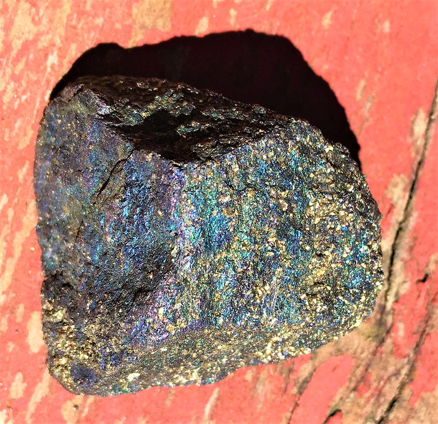
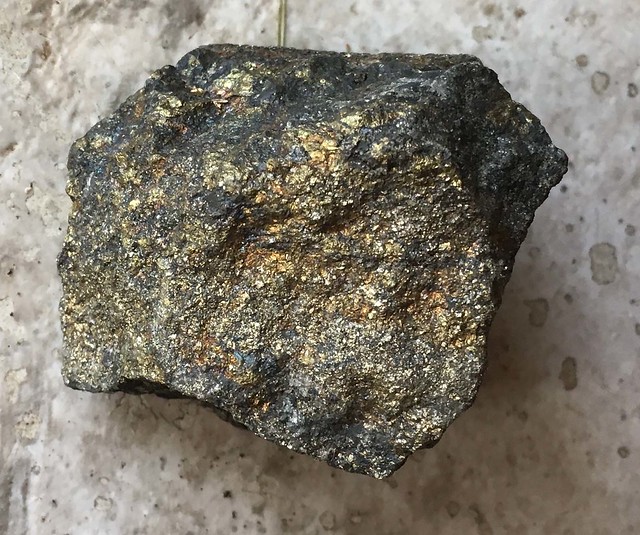
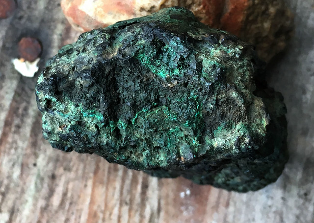
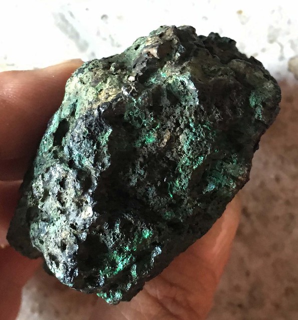
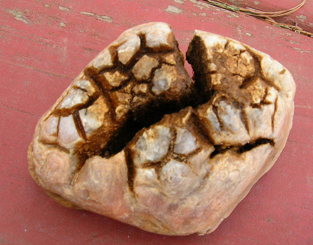
This explains why I found some bornite, associated with copper/gold mining. It explains all of the fossil coral/shells. It explains the purple quartz, which just might be Amethyst. It explains so many more things...
Only wish I could afford to hire someone to bring in a skidsteer and do some major digging in my fields. For now, they will be rented and plowed again. So, I should be able to find more things after spring plowing, that is if I can still walk and bend down then. The fields had gone untouched in recent history. Were in hay only with no plowing.
For anyone interested in the geological history of the Eastern half of WI, check out the below link. Also contains a little about the entire state and quick links to specific areas of the state.
wgnhs.uwex.edu/pubs/es056/


