Post by 1dave on Apr 8, 2018 3:00:48 GMT -5
In 1988 work for electricians dried up in Utah so I had a lot of spare time on my hands.
I spent time with the Moqui Marbles at Big Spencer Flat west of Escalante Utah, then visited Moab Utah where I was lucky enough to make friends with Fran Barnes, Geology Enthusiast Extraordinaire!
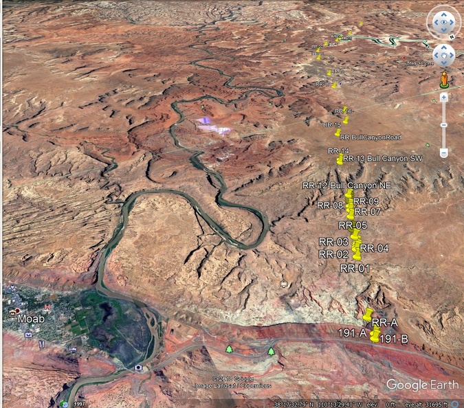
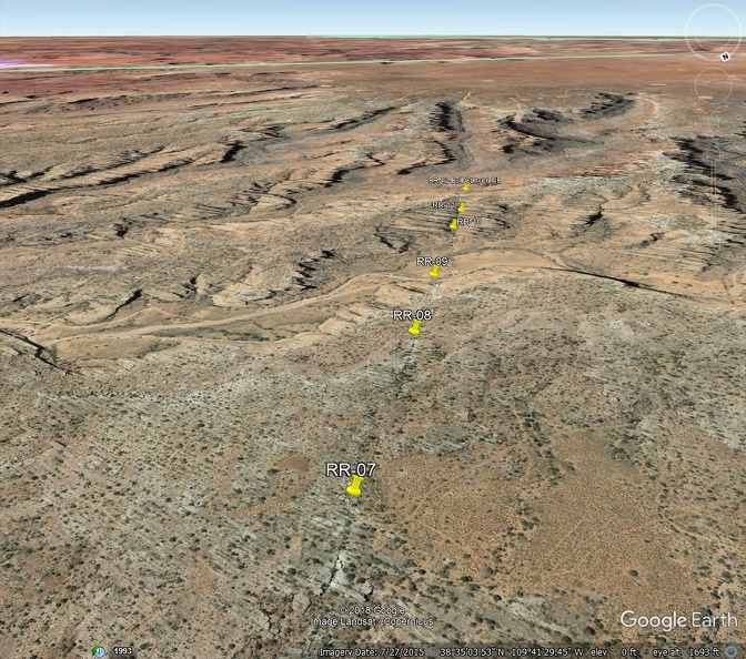
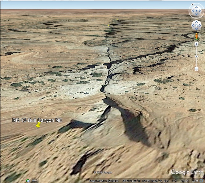
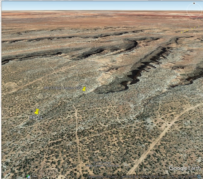
Fran had walked the entire surface area of the "Robert's Rift" and was gracious enough to drive me in his jeep to see some of the more obvious exposures of it.
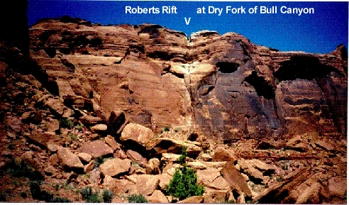
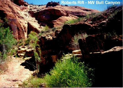
What is so special about the rift? Well, it is at least 30 miles long and possibly 3000 feet deep, and surrounded along it's length with huge rocks blown up to the surface from way down below including fossils from the Hermosa Group Deposits! Also, something leached the iron from the sandstone on both sides of the fracture. What could do all that? A huge underground steam explosion!
The map Fran published:
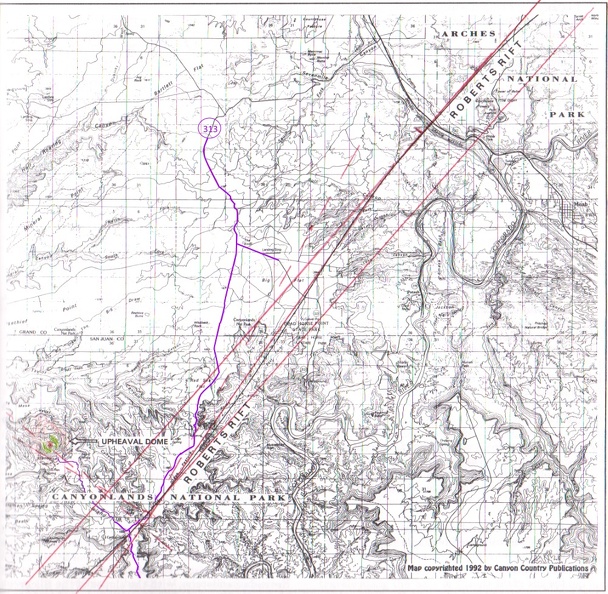
The rift is the undulating black line between the two red ones I drew.
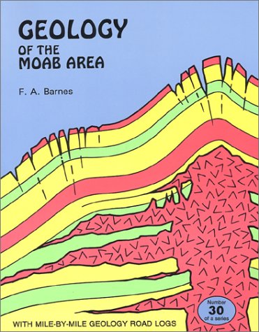
Published in 1993 AFTER guiding Gene Shoemaker and friends to the area and to Upheaval Dome.
Gene Shoemaker's report that convinced scientists the dome was not a salt dome.
agupubs.onlinelibrary.wiley.com/doi/pdf/10.1029/1998JE000587
onlinelibrary.wiley.com/doi/pdf/10.1111/j.1745-6584.1995.tb00311.x
I spent time with the Moqui Marbles at Big Spencer Flat west of Escalante Utah, then visited Moab Utah where I was lucky enough to make friends with Fran Barnes, Geology Enthusiast Extraordinaire!
Fran had walked the entire surface area of the "Robert's Rift" and was gracious enough to drive me in his jeep to see some of the more obvious exposures of it.


What is so special about the rift? Well, it is at least 30 miles long and possibly 3000 feet deep, and surrounded along it's length with huge rocks blown up to the surface from way down below including fossils from the Hermosa Group Deposits! Also, something leached the iron from the sandstone on both sides of the fracture. What could do all that? A huge underground steam explosion!
The map Fran published:

The rift is the undulating black line between the two red ones I drew.

Published in 1993 AFTER guiding Gene Shoemaker and friends to the area and to Upheaval Dome.
Gene Shoemaker's report that convinced scientists the dome was not a salt dome.
agupubs.onlinelibrary.wiley.com/doi/pdf/10.1029/1998JE000587
onlinelibrary.wiley.com/doi/pdf/10.1111/j.1745-6584.1995.tb00311.x
Roberts Rift, Canyonlands, Utah, A Natural Hydraulic Fracture Caused by Comet or Asteroid Impact
Peter W. Huntoon, Eugene M. Shoemaker
First published: July 1995
doi.org/10.1111/j.1745-6584.1995.tb00311.x
Abstract
The impact that created Upheaval crater in Canyonlands National Park, Utah, is invoked here as the source for energy that simultaneously caused Roberts rift. However, no temporal linkage has been proven between the impact and rifting events.
Roberts rift lies between 22 and 32 km northeast of the Upheaval impact crater on a subradial trend. The fissure contains clasts that were carried as much as 1,000 m upward from Paleozoic sources into the Mesozoic section.
A plausible model for both the rifting and clast movement involves incremental loading of overpressured fluid compartments in the Pennsylvanian Paradox section and attendant hydraulic fracturing of the overlying confining strata during the impact event. The clasts were proppants entrained in upward moving fluids that originated from overpressured aquifers in the Pennsylvanian section or materials eroded from the fissure walls.
Alteration halos and mineralization along the fissure reveal that there was upward leakage of reducing fluids from the overpressured zones following opening of the fissure. The fissure infillings became cemented with time, thus reducing fissure permeabilities to negligible.

