|
|
Post by 1dave on Jan 3, 2021 18:05:30 GMT -5
I was Googling down the road and . . . 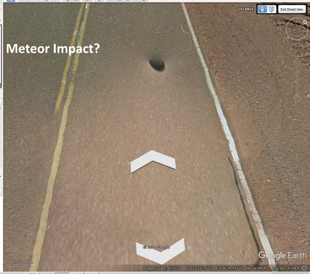 I backed up but . . . 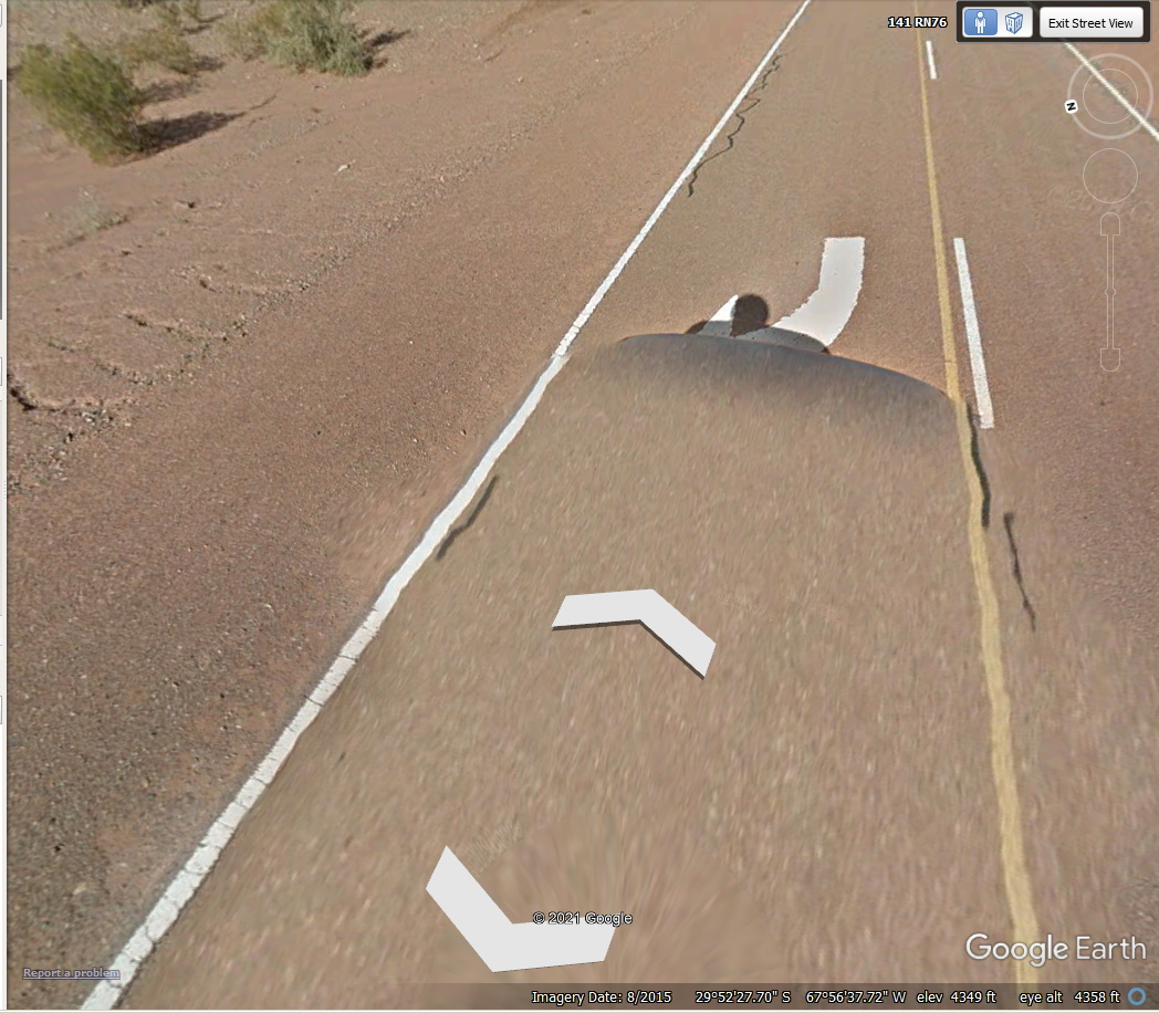 I think Google is now blanking out vehicles. But how about this one of Ischigualastro Park Valley de La Luna? 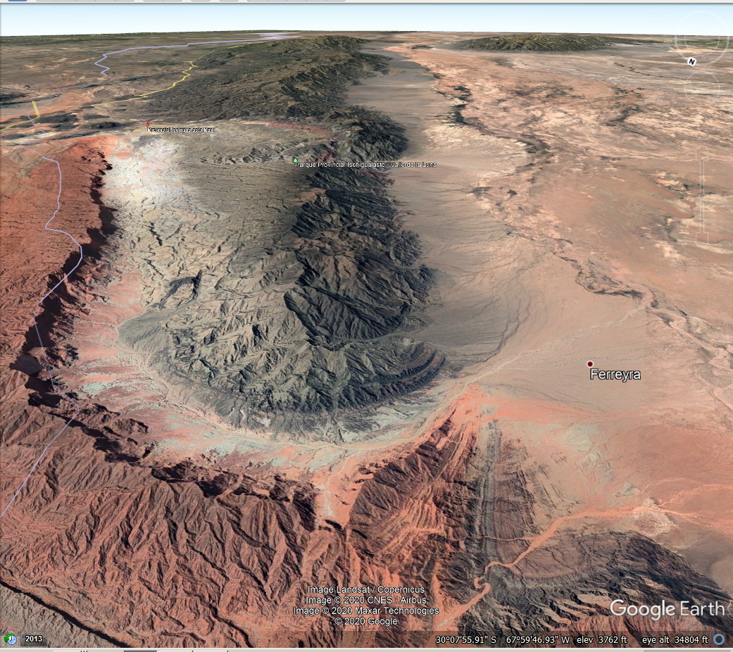 |
|
|
|
Post by victor1941 on Jan 3, 2021 19:56:28 GMT -5
Dave, if this is a meteor impact could it be recovered?
|
|
|
|
Post by orrum on Jan 4, 2021 6:39:19 GMT -5
Good question Victor.
|
|
|
|
Post by 1dave on Jan 4, 2021 8:47:20 GMT -5
|
|
|
|
Post by 1dave on Jan 4, 2021 9:02:04 GMT -5
|
|
|
|
Post by 1dave on Jan 4, 2021 10:01:34 GMT -5
|
|
|
|
Post by 1dave on Jan 4, 2021 10:20:37 GMT -5
About the park . . . It only looks at a small portion of the area. 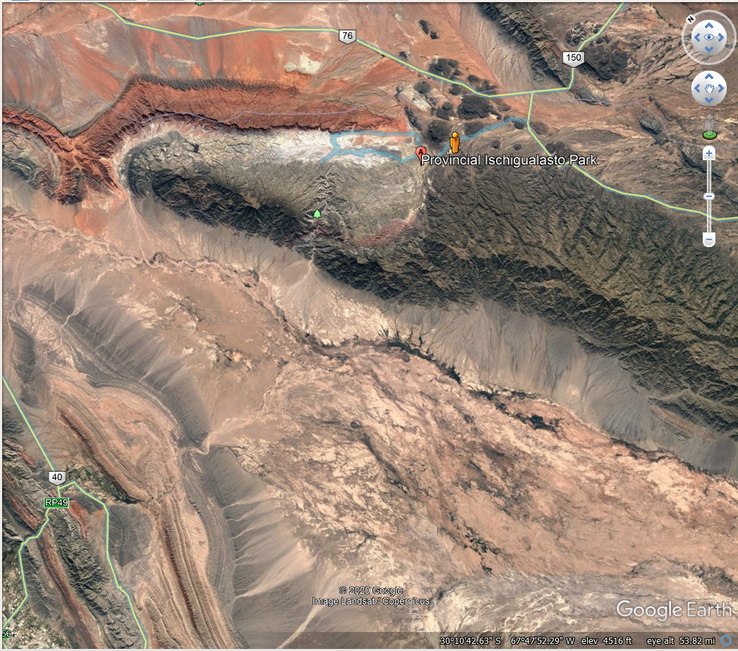 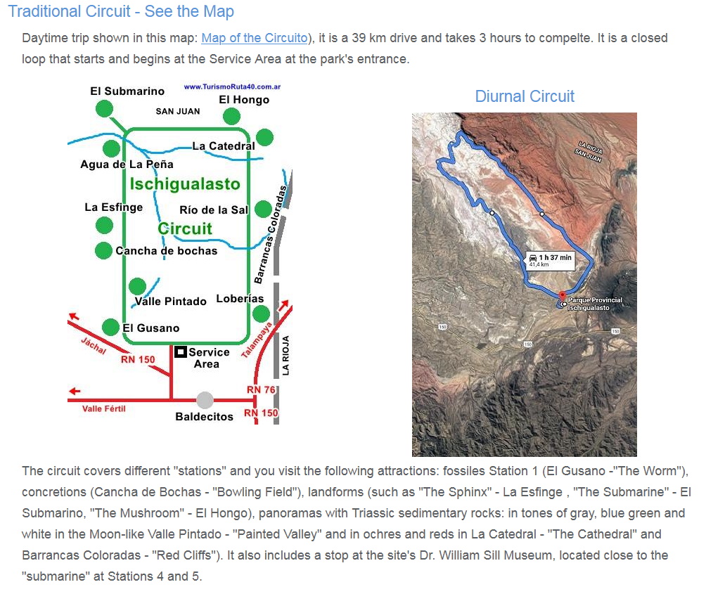 This gives me pause. The concretion are inside the suspected crater? That is a problem for me. |
|
|
|
Post by 1dave on Jan 4, 2021 11:08:27 GMT -5
I decided to "drive" inside the Park. My first stop - those odd chevron patterns! 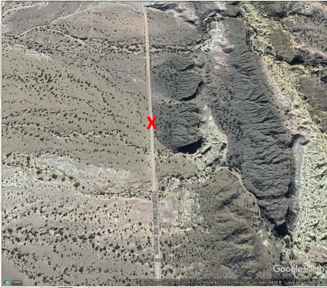 Looking Left - 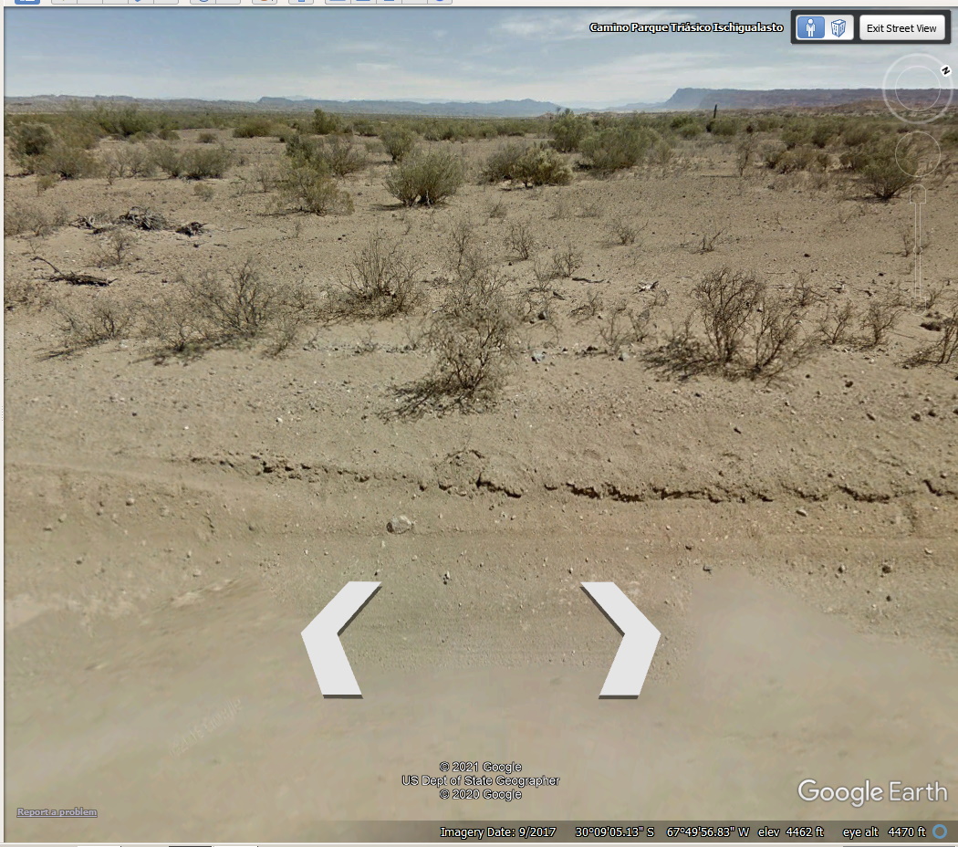 Looking Right - 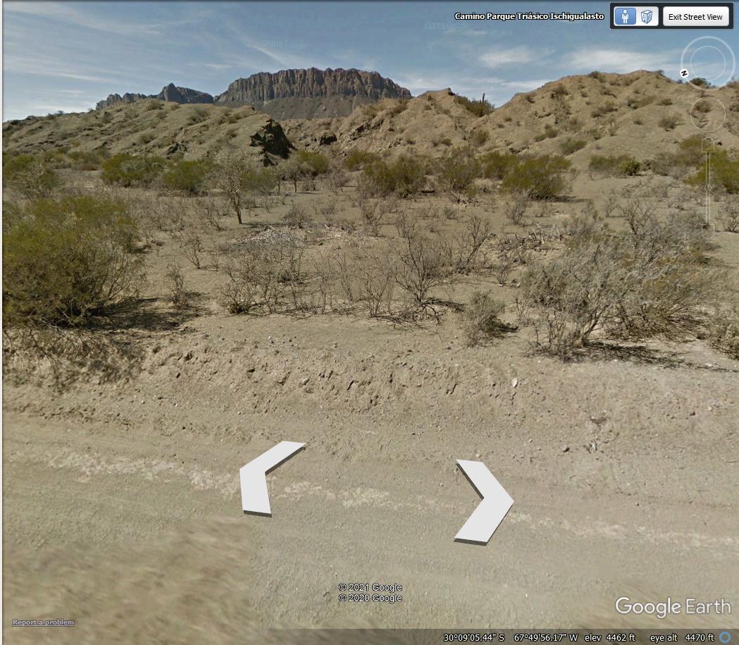 Right Elevated 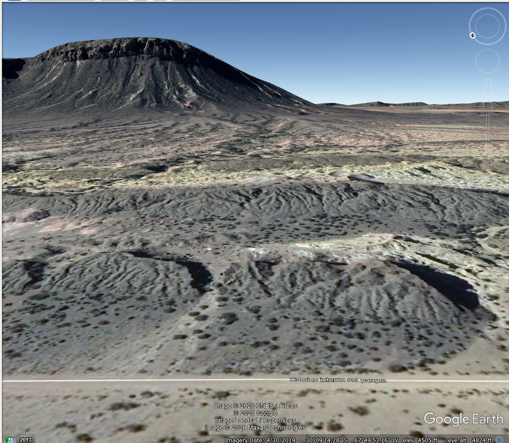 Looking forward (NOTE the blanked out car) 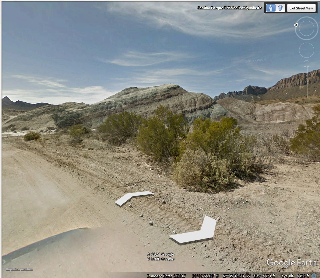 Drat! Those are sedimentary layers. This is NOT an impact site. - sorry folks. But it is an extremely interesting place! |
|
|
|
Post by 1dave on Jan 4, 2021 11:48:10 GMT -5
BUT That Northwest Red Corner . . . I can't get a good look at up close. Perhaps . . . icon_think 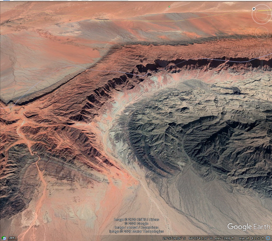 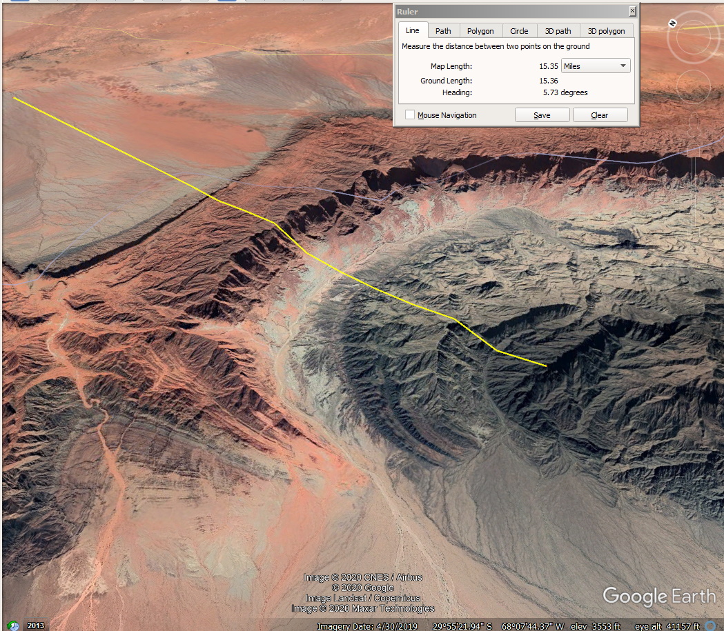 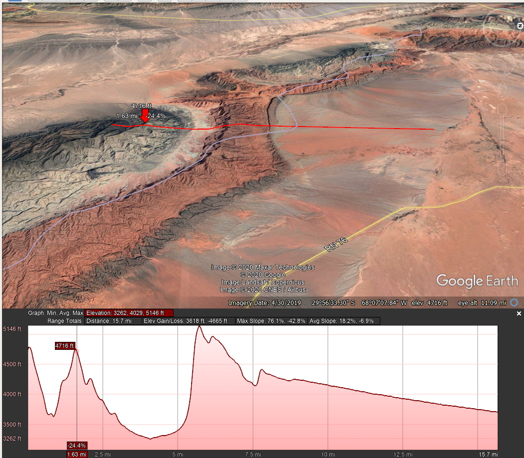 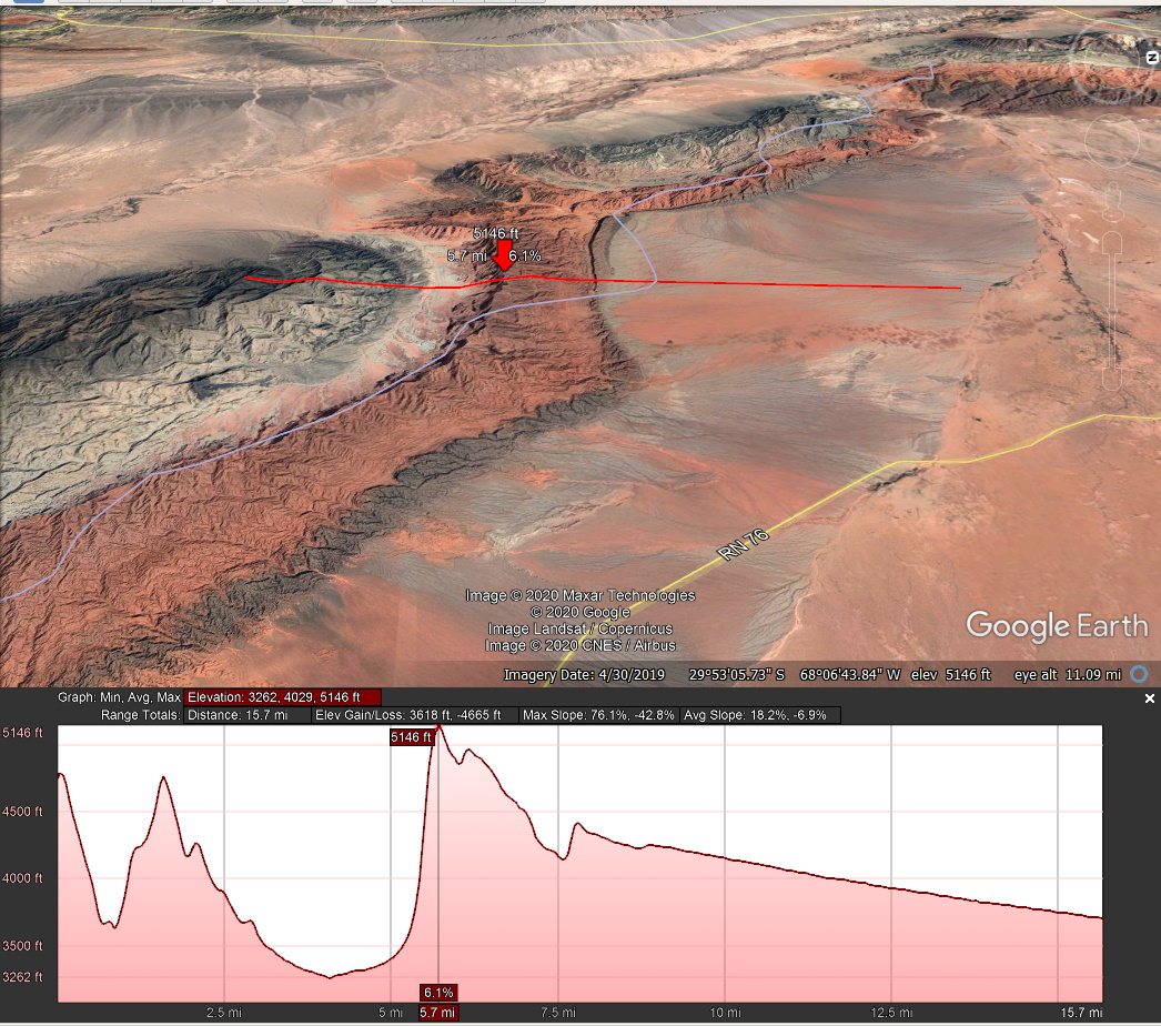 And two more blips to the northwest - 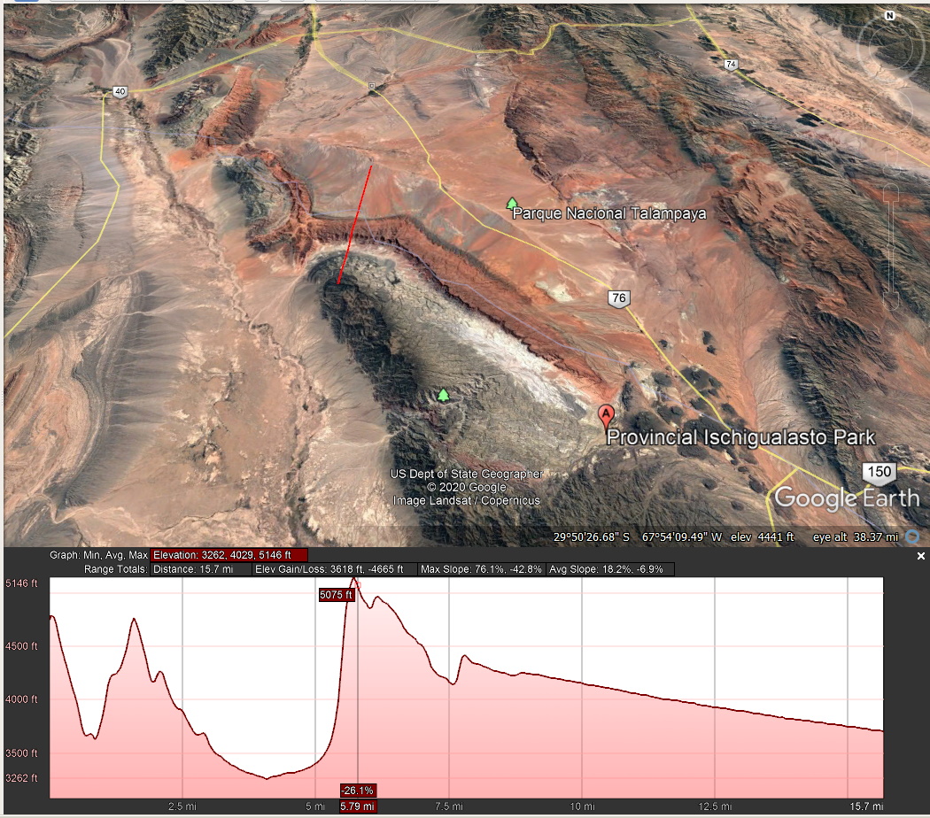 Perhaps a very ancient trio impact provided the original weakness?  |
|
|
|
Post by 1dave on Jan 4, 2021 14:53:04 GMT -5
The next one to the Northwest - 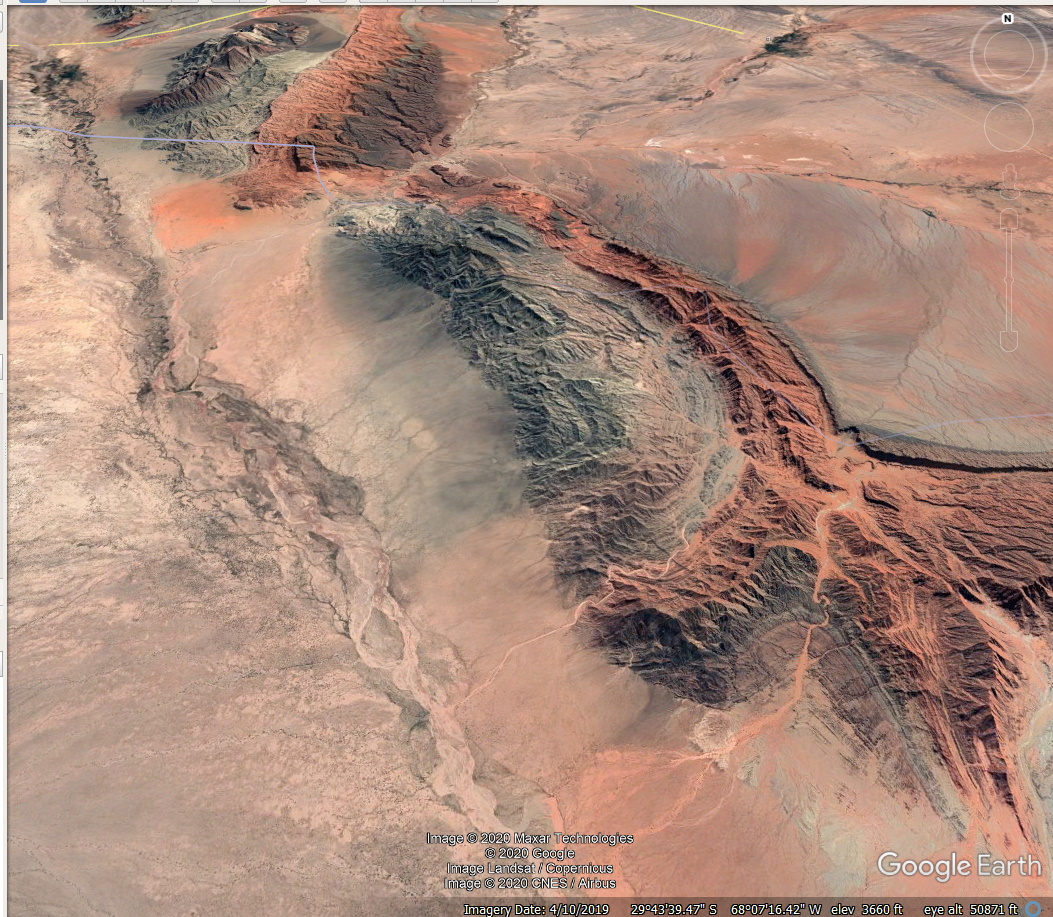 at First Light - 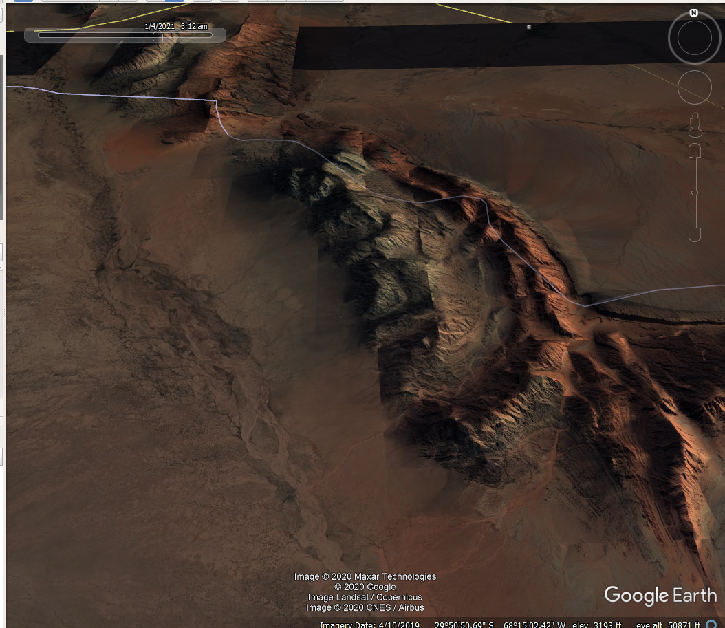 So they are pushed up like the San Rafael Swell by Upheaval Dome. |
|
|
|
Post by 1dave on Jan 4, 2021 15:21:46 GMT -5
AFTER they were formed, the Andes Mountains wee pushed up. the 250 mile long red line runs from Pacific ocean level of 0 to over 16,000 feet. The red arrow is pointing at the same point as the last one. 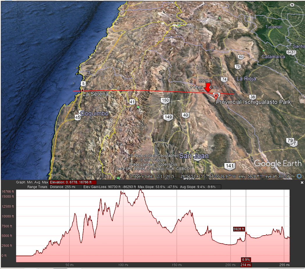 Another View (this is so easy using Google Earth and Cloudinary!)  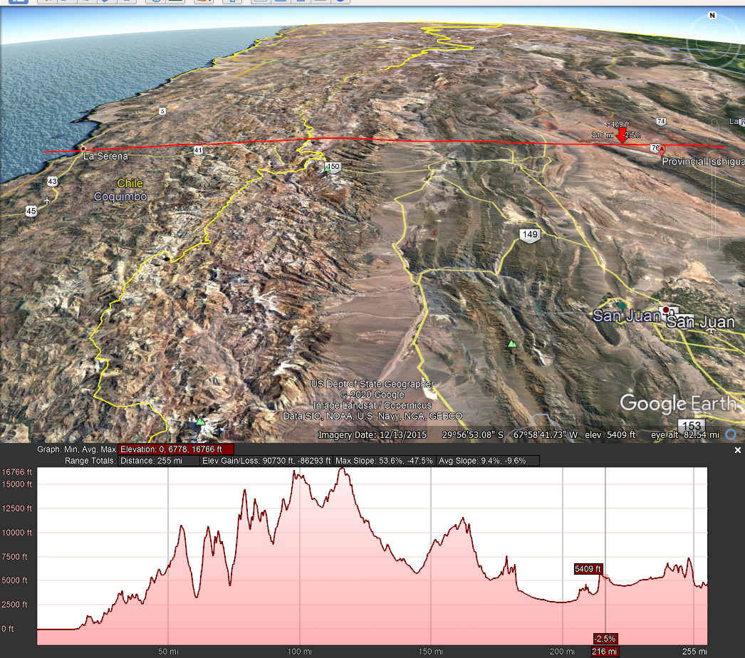 |
|